HLS Learning Resources
Webinars, tutorials, data recipes, and more to help you work with HLS.
Earthdata resources for users working with NASA’s Harmonized Landsat Sentinel-2 (HLS) data include tutorials and other learning resources, news announcements, and frequently asked questions.
The HLS Learning Resources listed below are available on the HLS Data Resources GitHub repository which provides guides, and Python and R tutorials to help users access and work with HLS data. This repository is public and open to contributions.
Filters
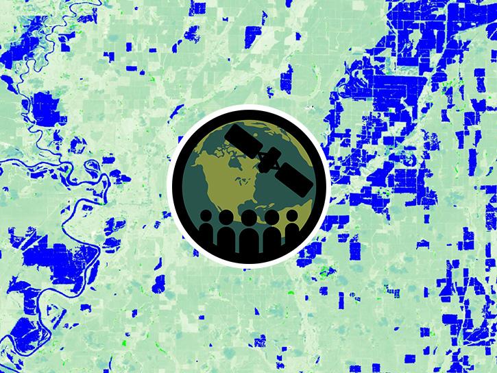
This ARSET Skills Launchpad walks users through the detection and monitoring of surface water and flooding on farmland.
Training
Ongoing
This ARSET Skills Launchpad walks users through the detection and monitoring of surface water and flooding on farmland.
StoryMap
Oct. 15, 2026
This workflow demonstrates how to securely access HLS data directly from NASA cloud storage.
Tutorial
Sept. 23, 2026
This workflow demonstrates how to discover, filter, and download HLS imagery using NASA Earthdata Search.
Tutorial
Sept. 23, 2026
This workflow demonstrates how to use the CMR STAC, ArcGIS Cloud Storage files, and ArcGIS configurations to properly visualize HLS imagery.
Tutorial
Sept. 23, 2026
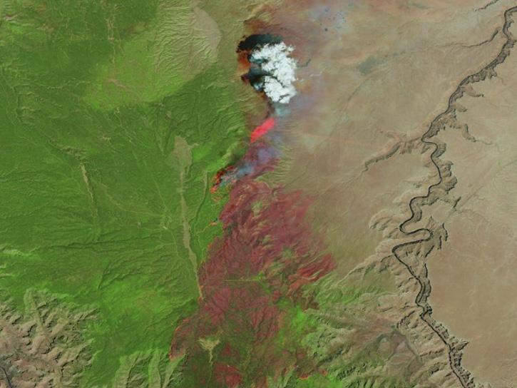
Learn how the Fire Information for Resource Management System (FIRMS) uses timely composite imagery to identify fire fronts, burned areas, and smoke.
Webinar
June 17, 2026
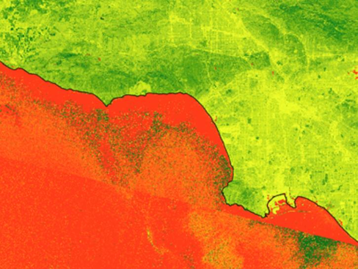
FIRMS has incorporated additional capabilities into the HLS dropdown menu of its interactive map, including four vegetation indices and the ability for user to create their own red, green, blue (RGB) image composites through the TiTiler-CMR service.
Tutorial
April 29, 2026
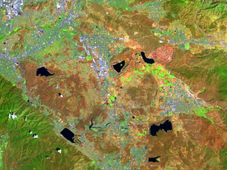
Create your own Harmonized Landsat Sentinel 2 (HLS) image composite or select from a preset list.
Tutorial
April 29, 2026