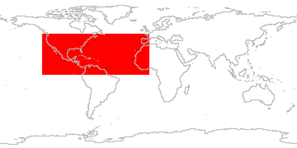
The Genesis and Rapid Intensification Processes (GRIP) campaign was a NASA Earth science field experiment in 2010 that was conducted to better understand how tropical storms form and develop into major hurricanes. NASA used the DC-8 aircraft, the WB-57 aircraft, and the Global Hawk Unmanned Airborne System (UAS) configured with a suite of in situ and remote sensing instruments used to observe and characterize the lifecycle of hurricanes. The GRIP deployment was August 15 to September 30, 2010, with bases in Ft. Lauderdale, FL for the DC-8, at Houston, TX for the WB-57, and at NASA Dryden Flight Research Facility, CA for the Global Hawk.
GRIP capitalized on a number of ground networks, airborne science platforms (both manned and unmanned), and space-based assets. The field campaign was executed according to a prioritized set of scientific objectives. In two separate science solicitations, NASA selected a team of investigators to collect NASA satellite and aircraft field campaign data with the goal of conducting basic research on problems related to the formation and intensification of hurricanes.
Cite the Collection
To cite the entire collection, please use the following:
S. Braun et al. 2013. GRIP Field Campaign Data Collection [indicate subset used]. Data available online [http://earthdata.nasa.gov/centers/ghrc-daac] from the NASA EOSDIS Global Hydrometeorology Resource Center Distributed Active Archive Center, Huntsville, Alabama, U.S.A. doi: http://dx.doi.org/10.5067/GRIP/DATA101
For more information on citing data archived by NASA's Global Hydrometeorology Resource Center Distributed Active Archive Center (GHRC DAAC), see NASA's data use policy.
General Characteristics
| Projects | Genesis and Rapid Intensification Processes (GRIP) |
|---|---|
| Platforms | NASA DC-8, Global Hawk UAS, WB-57, MSG, GOES-11, GOES-13, Balloons, Mission Reports |
| Sensors/Instruments | DAWN, HIWRAP, LIP, HIRAD, DIAL, LASE, GRIP Cloud Microphysics, GOES-11 IMAGER, GOES-13 Imager, APR-2, MSG, LARGE, GHIS, HAMSR, MMS, Dropsondes, Radiosondes, Computer, CAPS, CDP, PIP, RTMM, SEVIRI, APS, CNC, OPC, OPTSPEC, TSI-3562 Nephelometer, UHSAS, GPS, INS, GPSP, TEMPERATURE PROBES, AIRCRAFT MOTION SENSOR, PITOT-STATIC SYSTEM |
| Parameters | Atmospheric Winds, Radar, Weather Events, Atmospheric Electricity, Atmospheric Pressure, Atmospheric Temperature, Atmospheric Water Vapor, Platform Characteristics, Aerosols, Lidar, Microwave, Precipitation, Weather/Climate Advisories, Clouds, Visible Wavelengths, Infrared Wavelengths, Ocean Temperature, Sensor Characteristics, Ocean Winds |
| Processing level | 0, 1A, 1B, 2, 3 |
| Formats | ASCII, ASCII-asc, ASCII-IWG1, ASCII-XML, ASCII-eol, netCDF-3, MATLAB, KML, HDF-4, PNG, Binary, Various: PDF, MS Excel, Various: AVI, KML, MOV, MP4, Various: ASCII, ASCII-csv |
