| Study Dates | August 15 - September 30, 2010 |
|---|---|
| Region | Tropical Atlantic, Gulf of Mexico, Eastern North Pacific, Caribbean Sea |
| Season of Study | Boreal fall, boreal summer |
| Focus Area | Hurricanes |


GRIP
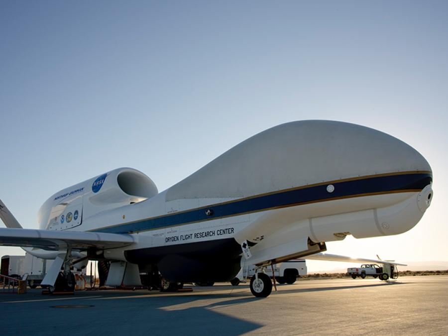
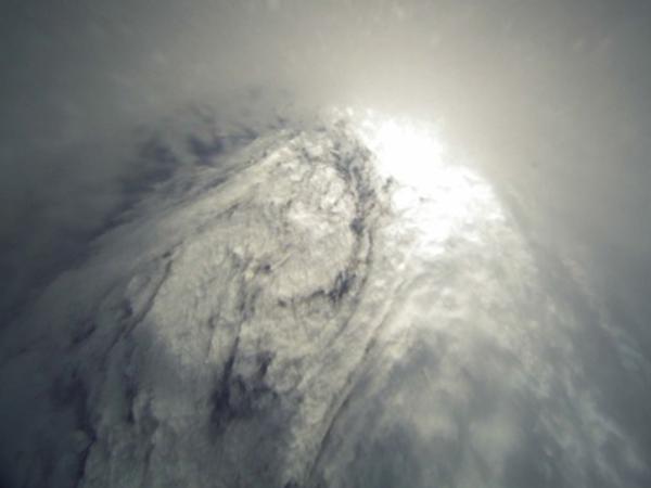
The Genesis and Rapid Intensification Processes (GRIP) field experiment was conducted to better understand how tropical storms form and develop into major hurricanes. NASA used the DC-8 aircraft, the WB-57 aircraft, and the Global Hawk Unmanned Airborne System (UAS) configured with a suite of in situ and remote sensing instruments used to observe and characterize the lifecycle of hurricanes.
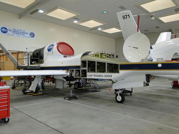
The GRIP deployment had bases in Ft. Lauderdale, Florida, for the DC-8; at Houston, Texas, for the WB-57; and at NASA Dryden Flight Research Facility, California, for the Global Hawk. This campaign capitalized on a number of ground networks, airborne science platforms (both manned and unmanned), and space-based assets.
The field campaign was executed according to a prioritized set of scientific objectives. In two separate science solicitations, NASA selected a team of investigators to collect NASA satellite and aircraft field campaign data with the goal of conducting basic research on problems related to the formation and intensification of hurricanes.
The spaceborne and airborne observational capabilities of NASA put it in a unique position to assist the hurricane research community in addressing shortcomings in the current state of the science. The relatively recent launch of several new satellites, the prospect of using a high-altitude UAS for hurricane surveillance, and the emergence of new remote sensing technologies offered new research tools that needed to be explored and validated. Of great importance were new remote sensing instruments for wind and temperature that can lead to improved characterization of storm structure and environment.
DC-8 Instruments
| Instrument Name | Acronym | Investigators | Type | Product Description |
|---|---|---|---|---|
| Airborne Second Generation Precipitation Radar | APR-2 | PI: Co-I: | 13/35-GHz dual-frequency Doppler radar | Direct: Lag-0 and lag-1 raw data at 13 and 35 GHz, co- and cross-pol. Derived: For selected cases: |
| Cloud Aerosol and Precipitation Spectrometer | CAPS | PI: Aaron Bansemer, NCAR | Spectrometer + Imaging Probe | Direct: aerosol particle properties, particle size distribution |
| Cloud Spectrometer and Impactor | CSI | Impactor | Direct: total cloud liquid water/ice | |
| Precipitation and Imaging Probe | PIP | Imaging Probe | Direct: particle size distribution Derived products of CAPS-CSI-PIP: | |
| Doppler Aerosol WiNd lidar | DAWN | PI: CO-I: Jeffrey Y. Beyon, G.David Emmitt, Simpson Weather Associates | Doppler Lidar | Direct: Backscattered light frequency vs. time/range Derived: Vertical profiles of LOS wind for the five (5) azimuth angles. Vertical profiles of relative aerosol backscatter (at 2-microns wavelength and circularly polarized light and 30-deg nadir angle), in the region below the aircraft, for the five (5) azimuth angles. Vertical profiles of wind turbulence in the region below the aircraft, for the five (5) azimuth angles. Correlations of the data products vs. height. |
| DC-8 Dropsonde | Dropsonde | PI: Jeff Halverson, NASA GSFC | Radiosonde | Direct: Vertical profiles of pressure, temperature, humidilty, and wind |
| Langley Aerosol Research Group Experiment | LARGE | PI: Co-I: Thanos Nenes, Jason Dunion, | In situ aerosol sensors including condensation nuclei counters, optical particle spectrometers, an aerodynamic particle sizer, multi-wavelength particle-soot absorption photometers, and integrating nephelometers | Direct: Derived: Field Archive (<24 hrs): |
| Lidar Atmospheric Sensing Experiment | LASE | PI: Co-I: | Lidar | Direct: Water vapor mixing ratio, aerosol scattering ratio, and cloud distributions. Derived: |
| Meteorological Measurement System | MMS | PI: CO-I: | In situ sampling | Direct: Derived: |
Global Hawk Instruments
| Instrument Name | Acronym | Investigators | Type | Product Description |
|---|---|---|---|---|
| Global Hawk Dropsonde | Dropsonde | PI: CO-I: | Dropsonde | Direct: Derived: |
| JPL High Altitude MMIC Sounding Radiometer | HAMSR | PI: Co-I: | Microwave Radiometer | Direct: Brightness temperatures Derived: Vertical profiles of temperature, water vapor, liquid water |
| High-Altitude Imaging Wind and Rain Airborne Profiler | HIWRAP | PI: CO-I: James Carswell, Remote Sensing Systems (RSS) | Doppler Radar | Direct: Derived: |
| Lightning Instrument Package | LIP | PI: Co-I: Doug Mach, | Electric field mills, Conductivity Probe | Direct: Lightning, electric fields, air conductivity Derived: Electric current (especial storm electric current) derived by combining electric fields and conductivity measurements. |
WB-57 Instruments
| Instrument Name | Acronym | Investigators | Type | Product Description |
|---|---|---|---|---|
| Hurricane Imaging Radiometer | HIRAD | PI: Co-I: Chris Ruf, University of Michigan Linwood Jones, University of Central Florida (UCF) Mark James, NASA/MSFC | Radiometer | Direct: Brightness temperature at 4, 5, 6, and 6.6 GHz Derived: |
Hurricane Research
PREDICT
PREDICT Data Catalog
IFEX
National Hurricane Center
National Hurricane Center Homepage
Hurricanes and the Oil Spill - Factsheet
Hurricane Science, Tracking, and History
NASA.gov - NASA's GRIP Mission
NASA's Hurricane Resource Page
Gulf Oil Spill
Previous Field Campaigns
Field Campaign portal
Northwest Pacific Latest Infrared Image
Additional Data Sources
Goddard Earth Sciences Data and Information Services Center
Caribbean Volcano
NOAA - Washington DC Volcanic Ash Advisory Center
Montserrat Volcano Observatory