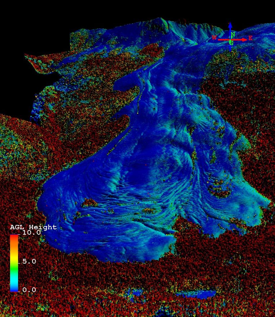
The University of Alaska Fairbanks Lidar Scanner (UAF Scanner) is a compact scanning laser altimeter that can fly on smaller aircraft. It was used in NASA's Operation IceBridge campaign. This laser altimeter collects 10,000 data points per second and has a scan angle of 30º to either side from straight down, which gives a scanning swath width roughly equal to aircraft height. This instrument is flown at a maximum of 1,500 feet, though lower and slower flights can yield higher density swaths.
We are in the process of migrating all NASA Earth science data sites into Earthdata from now until end of 2026. Not all NASA Earth science data and resources will appear here until then. Thank you for your patience as we make this transition.
Read about the Web Unification Project
