Access a range of datasets and data tools to further your ground water research.
According to the United Nations, water use has been growing globally at twice the rate as the global population is increasing. More and more areas are reaching the limit at which water services can be sustainably delivered, especially in arid regions. Groundwater, a major water resource for maintaining cropland productivity, is declining through the extensive use of water for agricultural irrigation, where aquifer recharge cannot keep up with groundwater extraction. Unfortunately, changes in terrestrial water storage, especially with regard to groundwater, are poorly known and sparsely sampled. Complicating matters further, global freshwater is not only unevenly distributed, but sources of freshwater such as lakes and rivers often cross geopolitical boundaries. Integrating satellite data with land-based and other measurements, geospatial data, and hydrologic models help us to better understand controls on global water resources and how changing water resources impact social-environmental systems across geopolitical boundaries.
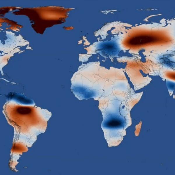
NASA has many datasets measuring aspects of ground water from accurate and extensive sources including the Gravity Recovery And Climate Experiment (GRACE) platforms and models from the Land Data Assimilation System (LDAS).
Learn How to Use Ground Water Data


Join Our Community of NASA Data Users
While NASA data are openly available without restriction, an Earthdata Login is required to download data and to use some tools with full functionality.
Learn About the Benefits of Earthdata LoginFrequently Asked Questions
Earthdata Forum
Our online forum provides a space for users to browse thousands of FAQs about research needs, data, and data applications. You can also submit new questions for our experts to answer.
Submit Questions to Earthdata Forumand View Expert Responses