We are in the process of migrating all NASA Earth science data sites into Earthdata from now until end of 2026. Not all NASA Earth science data and resources will appear here until then. Thank you for your patience as we make this transition.
Read about the Web Unification Project
Nighttime Lights Data Access and Tools
NASA has nighttime lights datasets that help researchers track changes in human activity and explore how artificial light affects the natural world. Access a range of data and data tools such as Worldview, and the HDF to GeoTIFF tool to make the most of nighttime lights data.
Table of contents
Nighttime Lights Data Tools
| Tool Sort descending | Description | Services | |
|---|---|---|---|
| Earthdata Search | Earthdata Search enables data discovery, search, comparison, visualization, and access across NASA’s Earth science data holdings. | Search and Discovery, Access, Cataloging, Cloud Computing, Downloading | |
| FIRMS | The Fire Information for Resource Management System (FIRMS) provides access to satellite imagery, active fire/hotspots, and related products to identify the location, extent, and intensity of wildfire activity. | Access, Visualization | |
| Worldview | Worldview offers the capability to interactively browse over 1,200 global, full-resolution satellite imagery layers and download the underlying data. | Analysis, Search and Discovery, Visualization, Access, Comparison, Monitoring Natural Events |
SHOWING 3 OF 3
Featured Nighttime Lights Observation Method: Black Marble
NASA's Black Marble is a daily calibrated, corrected, and validated product suite that enables effective use of nighttime lights data for scientific observations.
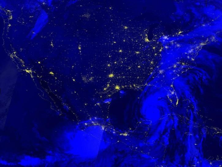
New data product from NASA’s LANCE will enhance the ability to determine whether changes in nighttime lights are the result of power outages.
7 MIN READ
Image captured Sep 26, 2024, by the VIIRS instrument aboard the joint NASA/NOAA NOAA-20 platform.
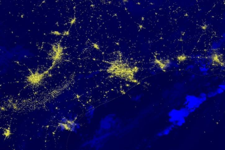
Image captured on July 9, 2024, by the VIIRS instrument aboard the joint NASA/NOAA NOAA-20 satellite.
Image captured on June 27, 2024, by the VIIRS instrument aboard the joint NASA/NOAA NOAA-20 satellite.
Frequently Asked Questions
Earthdata Forum
Our online forum provides a space for users to browse thousands of FAQs about research needs, data, and data applications. You can also submit new questions for our experts to answer.
Submit Questions to Earthdata Forumand View Expert Responses


