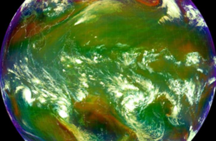
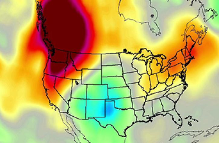
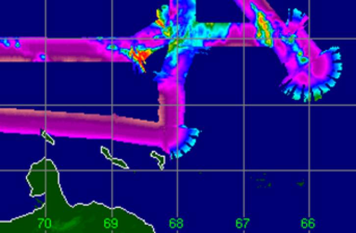
Aboard NASA’s many platforms are sophisticated instruments that collect a wide range of data about our planet. Our instruments can track wildfires in real time, detect minute changes in the Earth’s atmosphere, and help agricultural communities optimize their crop cycles. Explore how our data can enhance your Earth science research.
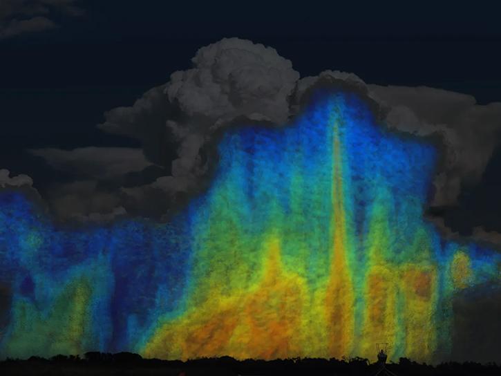
 

Explore Instruments

2DVD uses two high speed line scan cameras to provide continuous measurements of size distribution, shape, and fall velocities of all precipitation particles and types.

ABI

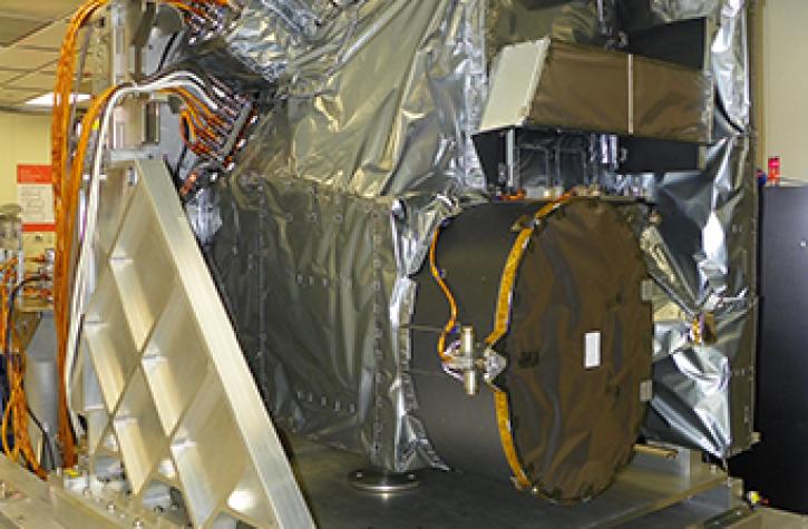
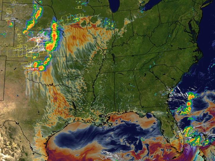
The Advanced Baseline Imager (ABI) is the primary instrument aboard the GOES-R Series for imaging Earth’s weather, oceans, and environment.
The Accumulation Radar airborne system provides a high-resolution profile of the top of the ice, enabling scientists to map variations in annual snow accumulation rates.
SHOWING 8 OF 139

Join Our Community of NASA Data Users

While NASA data are openly available without restriction, an Earthdata Login is required to download data and to use some tools with full functionality.

Learn About the Benefits of Earthdata Login

Frequently Asked Questions

Earthdata Forum

Our online forum provides a space for users to browse thousands of FAQs about research needs, data, and data applications. You can also submit new questions for our experts to answer.

Submit Questions to Earthdata Forumand View Expert Responses

Earthdata
Forum