Dr. Eric Sproles; Assistant Professor of Earth Sciences and Director, Geospatial Snow and Water Resources Lab (GEOSWRL), Montana State University, Bozeman, MT
Research interests: Integrating satellite data with land-based and unmanned aerial vehicle (UAV)-collected measurements, geospatial data, and hydrologic models to better understand controls on global water resources and how changing water resources impact social-environmental systems.
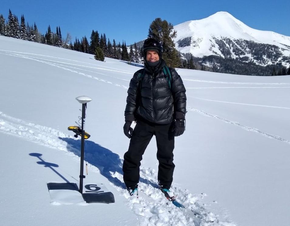
Research highlights: When Dr. Eric Sproles looks out his office window at Montana State University, he can watch as winter snow accumulates on the mountains surrounding Bozeman. Snow is good, for a deep snowpack in winter means spring runoff, and spring runoff means freshwater availability for the residents of the Gallatin Valley in which Bozeman sits.
But Bozeman is only a microcosm of not only the importance of water resources, but also of Sproles’ work. Through the use of remotely-sensed data, including data in NASA’s Earth Observing System Data and Information System (EOSDIS) collection, his research seeks to better understand the geospatial and climatic controls affecting global water resources and how changing water resources impact social-environmental systems. And as a finite resource, there is only so much water available on Earth.
According to figures available through the USGS, there are approximately 332,500,000 cubic miles of water on, in, and over Earth (to use a more common liquid measurement, one cubic mile is equivalent to approximately 1.1 trillion U.S. gallons, using the Milliliter.org conversion website). While this sounds like a lot, this number is somewhat deceptive. Of this massive amount of water, approximately 97.5 percent is saline water, mainly in the ocean. Only 2.5 percent of Earth’s water is the freshwater most terrestrial plant and animal life require. Still, this is 8,312,500 cubic miles of water. However, this number also is deceptive.
The vast majority of freshwater is locked up in glaciers and icecaps (approximately 5,710,687.5 cubic miles, or 68.7 percent of freshwater). When you look at readily available groundwater, surface water, or other freshwater (such as water vapor in the atmosphere), this is about 2,601,812.5 cubic miles of water. Complicating matters further, this global freshwater is not only unevenly distributed, but sources of freshwater such as lakes and rivers often cross geopolitical boundaries (this is easily seen in a NASA Worldview image of the Nile River winding through Egypt and Sudan). Incorporating remotely-sensed data (such as satellite imagery) into a Geographic Information System (GIS)-type analysis package not only makes it easier to assess the geopolitical aspects of water, it also helps enable the research by Sproles into the socio-environmental aspects of water resources.
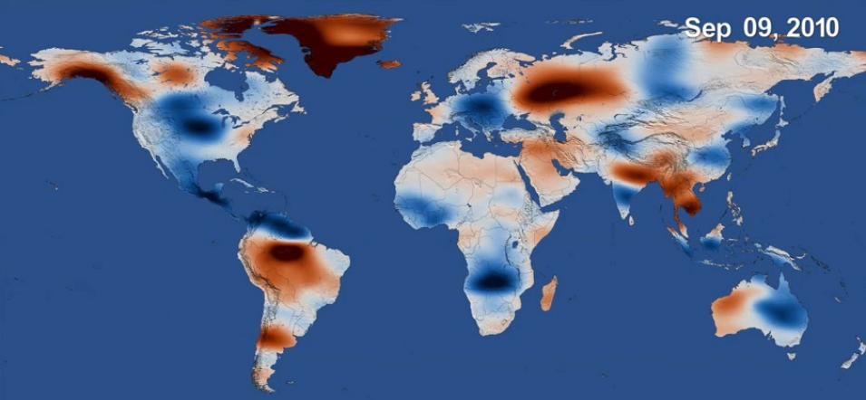
Sproles and his colleagues used a combination of geospatial mapping applications, socioeconomic data, and data about changes in Earth’s mass acquired by the joint NASA/German Aerospace Center (DLR) Gravity Recovery and Climate Experiment (GRACE) mission to globally assess watersheds extending across geopolitical boundaries and identify regions with a higher probability of experiencing hydro-political tensions from the construction of dams, canals, and other water diversions. The GRACE mission (operational March 2002 to October 2017) used two identical satellites flying in tandem to acquire extremely precise measurements of Earth's gravity field and mass re-distributions. Since water has mass, GRACE data can be turned into products that provide an excellent picture of changes in water resources as shown through changes in Earth's mass at specific locations. The GRACE data record continues with the GRACE-Follow On (GRACE-FO) mission that launched in May 2018 and is a joint NASA/German Research Centre for Geosciences (GFZ) mission.


