Happy New Year GIBS and Worldview users! With a challenging 2020 behind us, we hope that some of the things we've been working on over the past year will help you with your work, research and plain old curiosity!
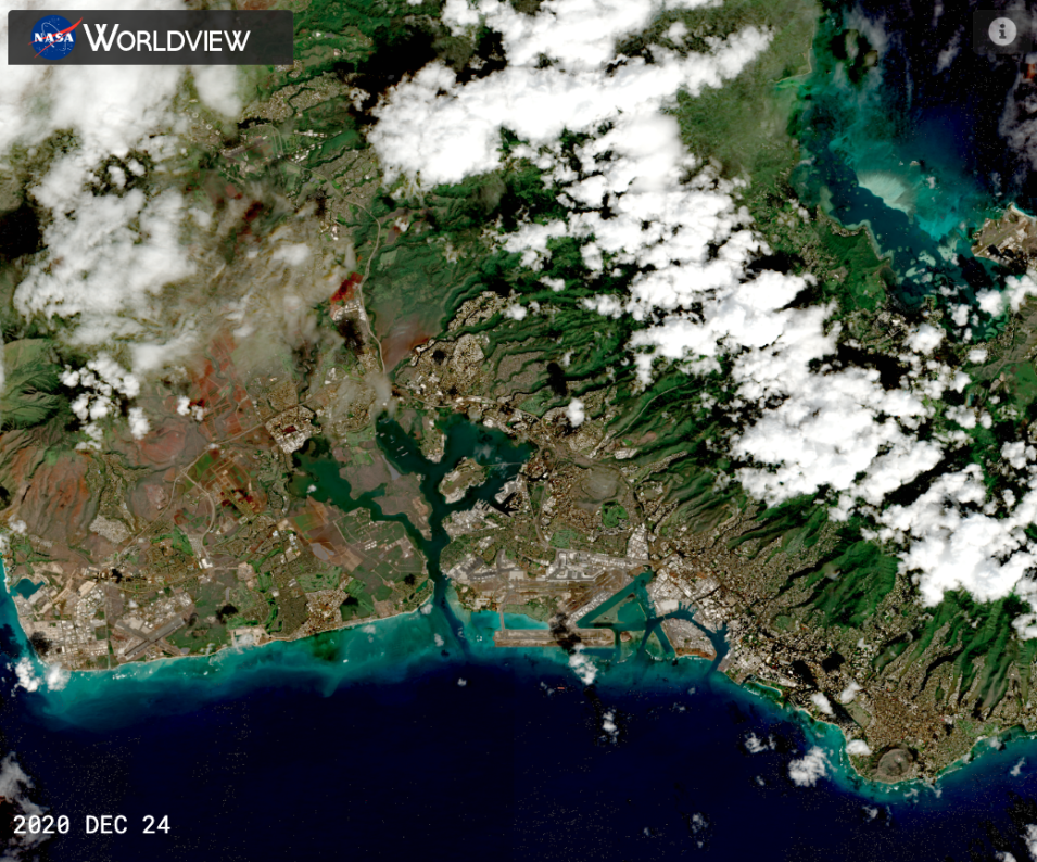
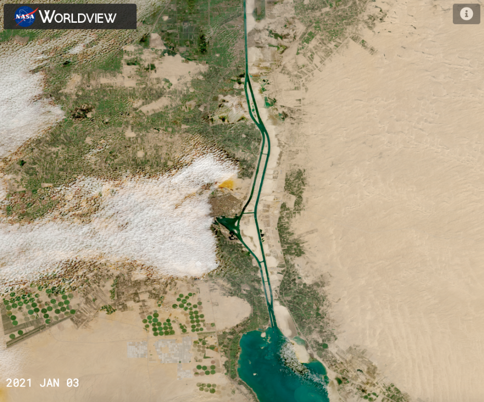
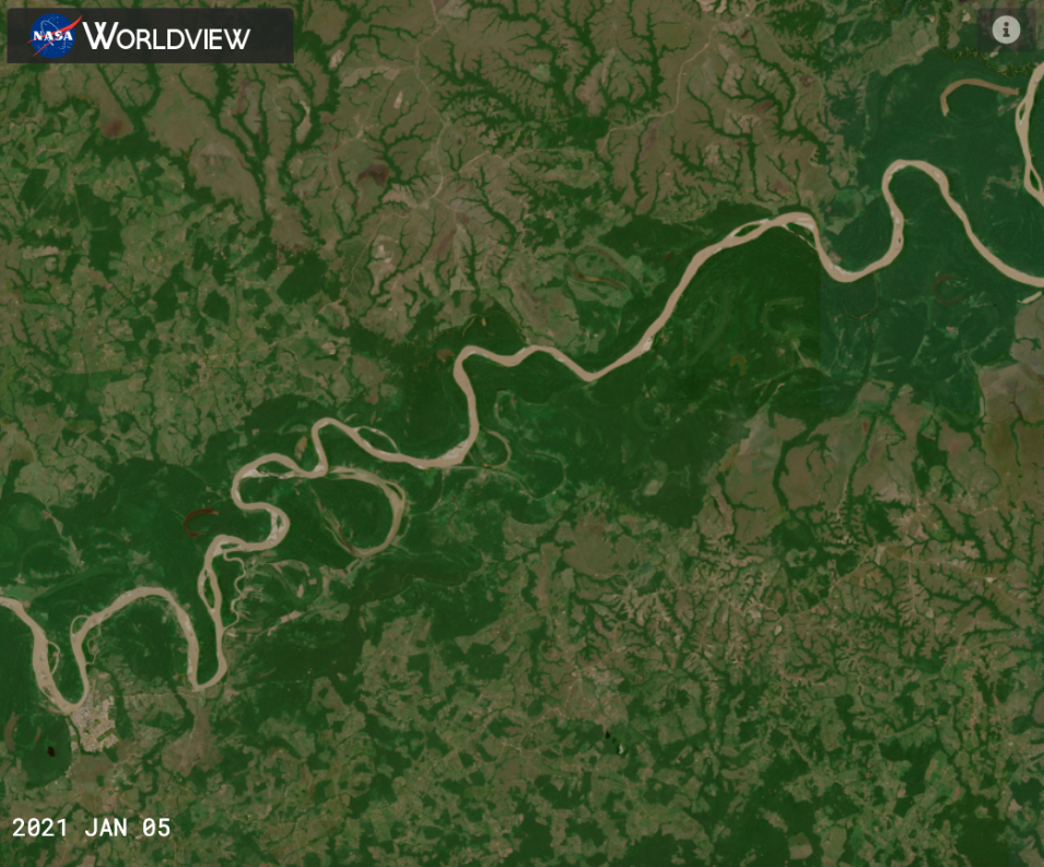
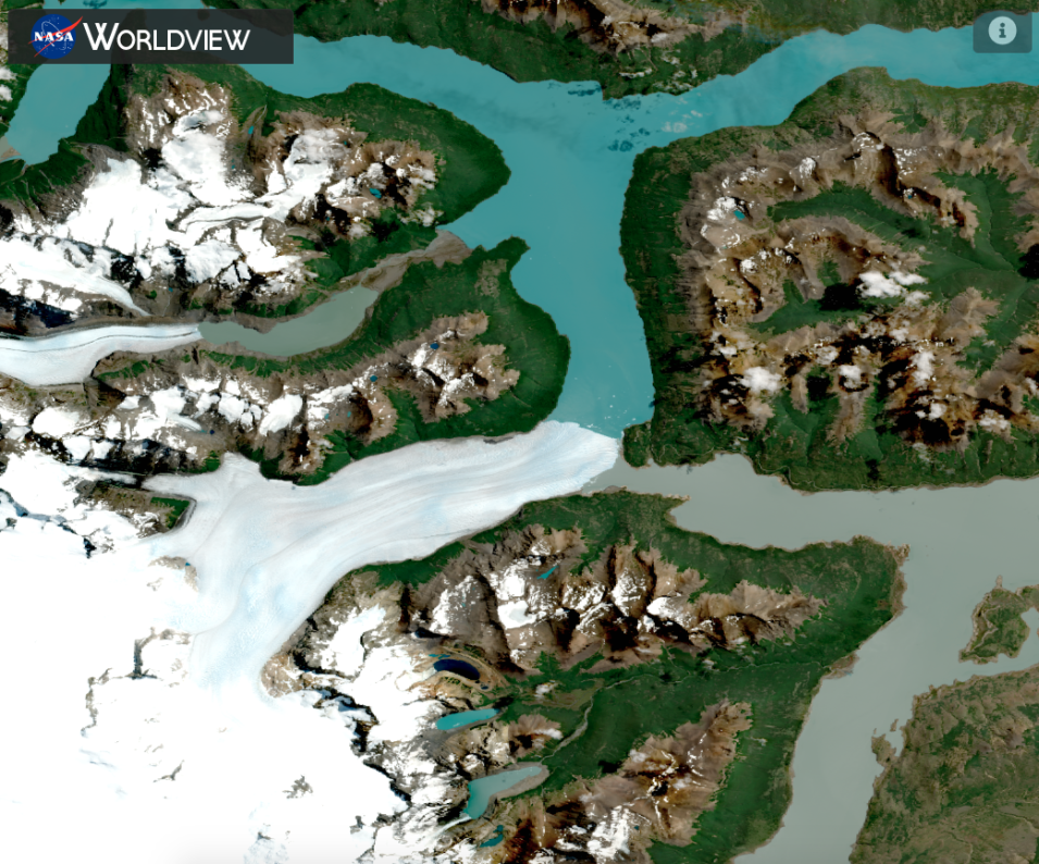
Worldview's mainstay has been the workhorse daily, global 250 meter resolution imagery from the Moderate Resolution Imaging Spectrometer (MODIS) instrument aboard the Terra and Aqua satellites. With the long awaited release of the provisional Harmonized Landsat and Sentinel-2 version 1.5 data from the Land Process Distributed Active Archive Center (LP DAAC) and the Interagency Implementation and Advanced Concepts Team (IMPACT), GIBS and Worldview have also worked hard to get this 30 meter imagery into Worldview for you to use!
The latest release, version 3.8.5, includes:
- Reflectance (Nadir, BRDF-Adjusted, v1.5) from Sentinel 2A & 2B/MSI, currently available 29 September 2020 - present
- Reflectance (Nadir, BRDF-Adjusted, v1.5) from Landsat 8/OLI, currently available 20 January 2021 - present
- Military Grid Reference System (MGRS)/HLS Grid
The imagery will be back processed and will be available starting 2013 for Landsat 8 and 2015 for Sentinel 2A and 2B in the near future.
Learn more about the imagery by going through the Harmonized Landsat Sentinel-2 Tour Story in Worldview and read the Earthdata article A Harmonious New Dataset.


