The Earth Resources 2 (ER-2) aircraft is a valuable asset for NASA’s Airborne Science Program (ASP). The ER-2 can fly up to 70,000 ft altitude, which makes it a valuable platform for research by providing the capability to take measurements above most of the Earth’s atmosphere. As instrument technology has advanced over the past decades, the ER-2 has consistently proven to be a valuable platform for studying a wide array of atmospheric phenomena and physical processes,including convective processes, lightning, multi-scale precipitation regimes, and frontal systems. The ER-2 has also been valuable as a testbed platform for developing new satellite instrument capability and for post-launch instrument validation. Some examples have included the MODIS Airborne Simulator (MAS), the MODIS/ASTER Airborne Simulator (MASTER), and Airborne Visible and Infrared Imaging Spectrometer (AVIRIS), and the Advanced Microwave Precipitation Radiometer (AMPR). These instruments have evolved yielding greater scientific value through technological improvements, such as improved spatial and temporal resolutions, sampling methods, and hardware and engineering technologies.
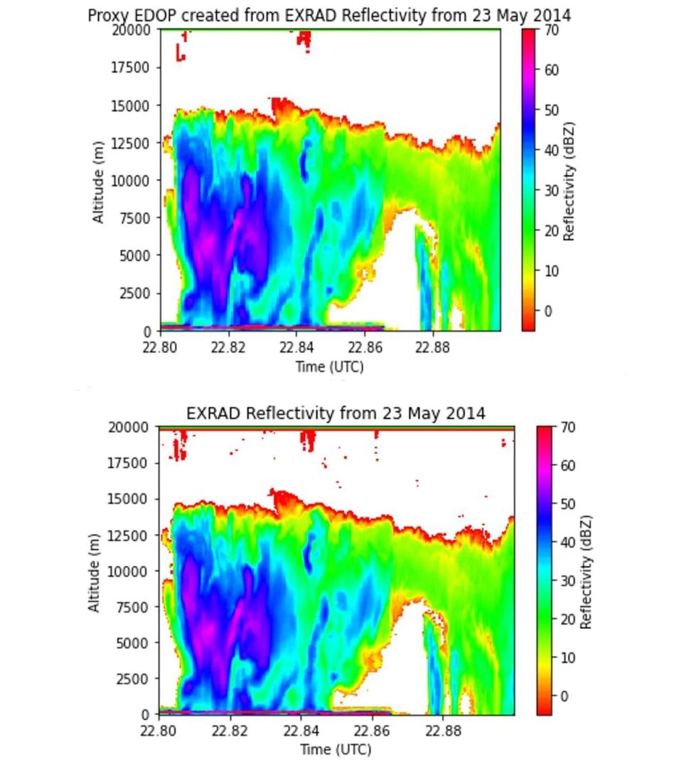
Shelby Bagwell is presenting the improvements in ER-2 instrumentation and will show improved data resolution from the ER-2 X-band Doppler Radar (EXRAD) as compared to it’s legacy counterpart: the ER-2 Doppler Radar (EDOP). The modern data as compared to the resampled data illustrate some of the improved benefits of some ER-2 data now available to scientists.
Improving the Discoverability of NASA Airborne and Field Investigation Data
Thursday, January 14, 2021. 3:50 PM–3:55 PM
Airborne and field investigations (also called campaigns) are relatively short-term efforts designed to study specific science objectives, support the development of new instrumentation, or provide calibration and validation data for existing sensors and algorithms. These lesser-known, complex, and highly heterogeneous data collections play an important role in NASA’s Earth observation system and Earth Science research efforts. Airborne and field data are typically under-utilized by the broader community. The data vary significantly in format, metadata content, quality assessment, and discoverability. Traditionally, field campaign data see little to no use outside of the original science teams during the primary investigation analysis period.
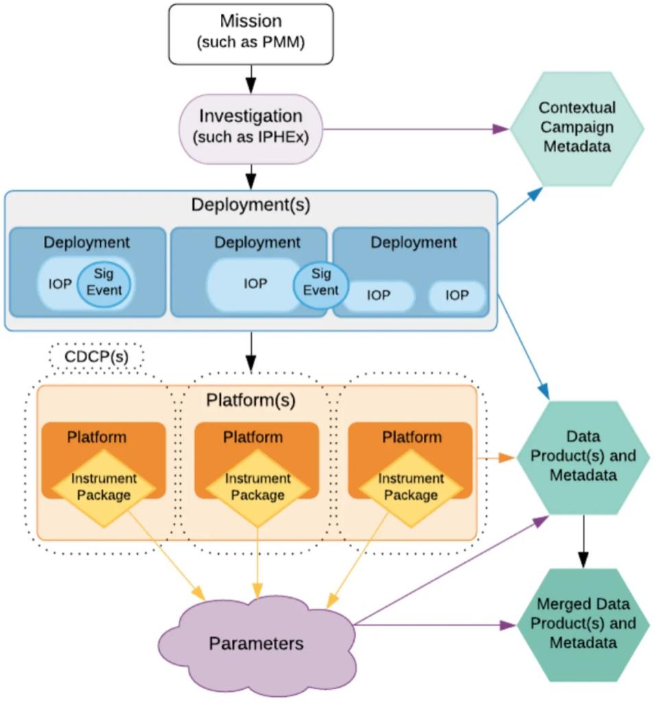
This presentation by Deborah Smith describes the many efforts carried out by NASA’s Airborne Data Management Group (ADMG) whose primary responsibility is to assist with making NASA’s airborne and field investigation data more discoverable and accessible. To do this, ADMG is locating all historical NASA airborne data and facilitating transition of the data to NASA data centers as well as improving how potential users can locate and access these historical data. Through development of a new airborne portal built upon NASA’s Earthdata Search and the Catalog of Archived Earth Science Investigations (CASEI)the AMDG is improving access and facilitating sustainable data reuse and NASA’s return on investment.


