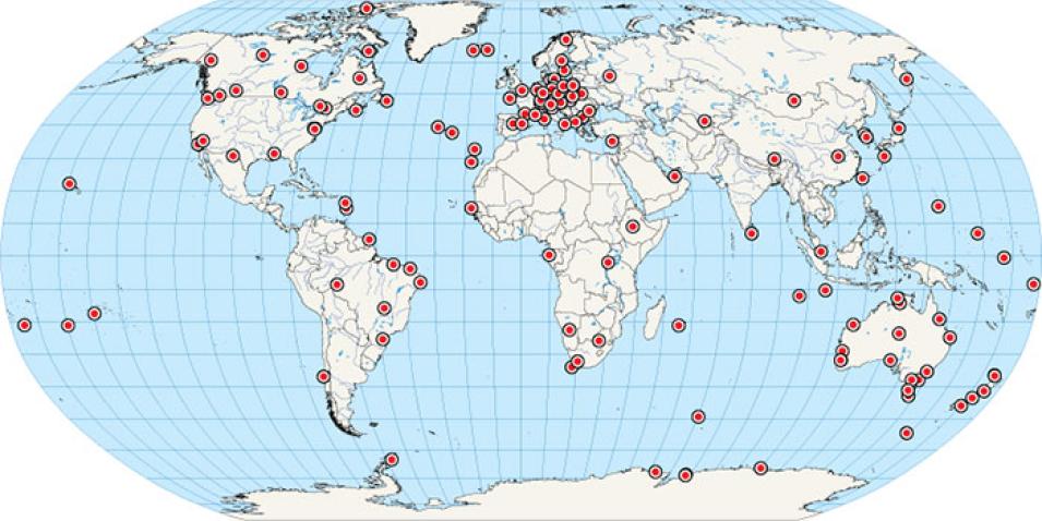
NASA's Crustal Dynamics Data Information System (CDDIS) supports a global research community through NASA's Earth Science Division and NASA's Space Geodesy Program. CDDIS archives and distributes Global Navigation Satellite System (GNSS), laser ranging, Very Long Baseline Interferometry (VLBI), and Doppler Orbitography and Radio-positioning Integrated by Satellite (DORIS) data for an ever-increasing user community of geophysicists.
CDDIS and its archive are a key component in several of the operational services within the International Association of Geodesy (IAG), in particular the International GNSS Service (IGS). In the spring of 2013, the IGS officially launched its Real-time Service (RTS) to provide support for applications requiring real time access to IGS products. The IGS RTS is a GNSS orbit and clock correction service that enables precise point positioning (PPP) and related applications, such as time synchronization and disaster monitoring. This public service is based on a global infrastructure of network stations, data centers, and analysis centers that provide high precision GNSS products.
In this webinar we will:
- Provide an overview of the IGS RTS and information about CDDIS real-time implementation
- Discuss how CDDIS fits into the RTS infrastructure
- Provide overview of the user registration process
- Discuss computation and conversion of data feeds into high‐rate data files for both near real-time and offline usage.
