Content from all Earth science data sites are migrating into this site from now until end of 2026. Not all NASA Earth science data will appear across the site until then. Thank you for your patience as we make this transition.
Read about the Web Unification Project
Earth Observation Data Basics
The life cycle of Earth observation data is rich and complex, with many points of entry along the pipeline. From collection to visualization, we dive deep into the basics to demystify the incredible data in our catalog.
Quick Filters
3 MIN READ
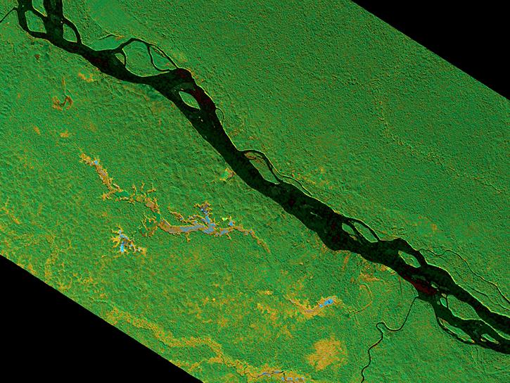
The SAR Handbook was created in 2019 as a guide for forest monitoring and biomass estimation with Synthetic Aperture Radar (SAR).
9 MIN READ
NASA Earth observation data are provided in different formats to meet varying user needs.
32 MIN READ
NASA’s Earth Observing System Data and Information System (EOSDIS) curates a list of commonly-used data science terms.
4 MIN READ
The application of artificial intelligence (AI) to Earth science data makes it possible to search through large amounts of data to find relationships.
4 MIN READ
Cloud computing is the ability to access and work with data virtually in a cloud-based environment.
4 MIN READ
General rules of thumb for interpreting synthetic aperture radar (SAR) imagery and resources for viewing SAR imagery.
1 MIN READ
View a table of synthetic aperture radar (SAR) products and their processing levels available through NASA's Earth Science Data Systems (ESDS) Program.
18 MIN READ
Near real-time products enable the management of ongoing events; standard data products are heavily processed and intended for scientific research.
Pagination
SHOWING 8 OF 19
