Instruments and Techniques Used
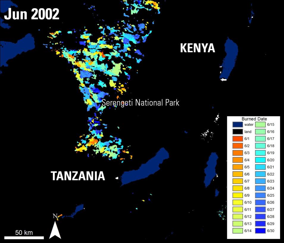
he authors use remote sensing data distributed by the LP DAAC, including Terra Advanced Spaceborne Thermal Emission and Reflection Radiometer (ASTER) Global Digital Elevation Model (GDEM) (ASTGTM) and the Combined Moderate Resolution Imaging Spectroradiometer (MODIS) Burned Area (MCD45A1) products. In addition, the authors use the Combined MODIS Active Fire (MCD14ML) product, which is distributed by the University of Maryland. Ancillary data, including rainfall data, soil data, in-situ grass height data, and migratory patterns of wildebeest are also used. The ASTER data are used to extract the elevation and slope of each fire in the study area. The authors combine the MODIS active fire and burned area data to observe individual fires, their locations, and associated fire characteristics. A comprehensive pattern of fire regimes across the Serengeti-Mara ecosystem was generated based on MODIS data products over the span of the study period and overlaid with the area’s statistical environmental data.
Major Findings
The study revealed a decline in the total burned area and number of fires. The authors attribute this decline in fire to human activities, such as increase in livestock populations, including an increase in grazing activities by the wildebeest, and land management approaches.
Author’s Note: The MCD45A1 Burned Area product used in this paper was decommissioned. Users are encouraged to use the MODIS Version 6 replacement Burned Area product (MCD64A1) as an alternative.
References
Publication Reference
Probert, J.M., Parr, C.L., Holdo, R.M., Anderson, M.T., Archilbald, S., Mustaphi, C.C., Dobson, A.P., Donaldson, J.E., Hopcraft, G.C., Hempson, G.P., Morrison, T.A., and Beale, C.M., 2019, Anthropogenic modifications to fire regimes in the wider Serengeti-Mara ecosystem: Global Change Biology, v. 25, p. 3406–423. DOI: /doi/full/10.1111/gcb.1471
Data Granule ID
- MCD64A1.A2002152.h21v09.006.2017013012506
Data Citation
Giglio, L., C. Justice, L. Boschetti, D. Roy. MCD64A1 MODIS/Terra+Aqua Burned Area Monthly L3 Global 500m SIN Grid V006. 2015, distributed by NASA EOSDIS Land Processes DAAC, https://doi.org/10.5067/MODIS/MCD64A1.006. Accessed 2020-01-09


