We are in the process of migrating all NASA Earth science data sites into Earthdata from now until end of 2026. Not all NASA Earth science data and resources will appear here until then. Thank you for your patience as we make this transition.
Read about the Web Unification Project
OBPG
Ocean Biology Processing Group
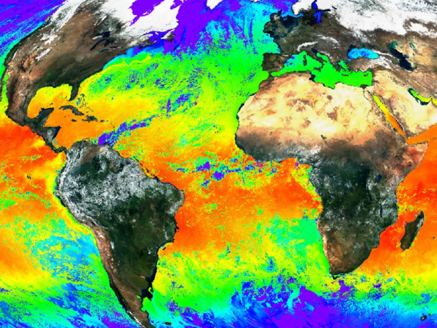
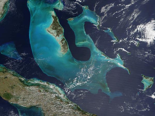
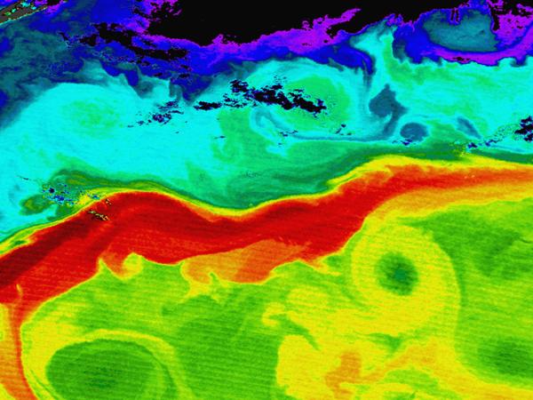
NASA's Ocean Biology Processing Group (OBPG), located at Goddard Space Flight Center in Greenbelt, MD, supports the collection, processing, calibration, and validation of ocean-related products from over 15 current and historical NASA, NOAA, and international missions. These include the Moderate Resolution Imaging Spectroradiometer (MODIS) instruments aboard the Terra and Aqua platforms; the Visible Infrared Imaging Radiometer Suite (VIIRS) instruments aboard the NASA/NOAA Suomi National Polar-orbiting Partnership (Suomi NPP) and Joint Polar Satellite System (JPSS) platforms; and the Ocean and Land Colour Instrument (OLCI) aboard ESA's Sentinel-3 platforms.
These activities are supported within the framework and facilities of NASA's Ocean Data Processing System (ODPS), which has been successfully supporting satellite-based remote-sensing missions since 1996. The group's capabilities continue to evolve and expand to meet the demands and challenges of future missions.
The OBPG also serves as the Science Data Segment (SDS) for the Plankton, Aerosol, Cloud, and ocean Ecosystem (PACE) mission, producing ocean color, cloud, and aerosol data products for the three instruments aboard that platform: the Ocean Color Instrument (OCI), the Hyper-Angular Rainbow Polarimeter 2 (HARP2), and the Spectro-polarimeter for Planetary Exploration (SPEXone). Additionally, the OBPG has been designated as the SDS for the upcoming Geostationary Littoral Imaging and Monitoring Radiometer (GLIMR) mission.
Location
Greenbelt, MD
CoreTrustSeal Certified Repository
We are proud to be a CoreTrustSeal Certified Repository. CoreTrustSeal is an international, community based, non-governmental, and non-profit organization promoting sustainable and trustworthy data infrastructures.