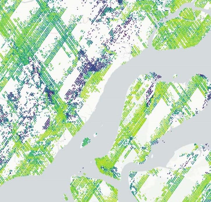
The Terrestrial Ecology Subsetting and Visualization Services (TESViS) fixed sites subsets tool provides several means of subsetting Moderate Resolution Imaging Spectroradiometer (MODIS) and Visible Infrared Imaging Radiometer Suite (VIIRS) data. TESViS provides customized subsets and visualizations of several terrestrial ecology data products for 2,000+ selected field and flux tower sites around the world. Spatial subsets of the land products are available for predefined areas (approximately 8.5 by 8.5-km) centered on each site. Users select a site and data product through the graphical web interface and are directed to a page with options for data download and visualizations.
Fixed sites are included at the request of measurement networks, research programs, and individual researchers. Subsets of each available terrestrial ecology data are pre-processed and indexed for the roughly 8.5 by 8.5-km footprint surrounding each fixed site to allow for instantaneous visualization and download of the data. The time series for each product is routinely updated as new data become available. Fixed sites are searchable by site name, country, or network affiliation through the TESViS Fixed Sites Subsetting Tool portal.
