| Name | Temporal Extent | Format | Cloud? | DOI |
|---|---|---|---|---|
North Alabama Lightning Mapping Array (LMA) V1 | 12/17/2018 to Present | ASCII | Yes | doi:10.5067/NALMA/DATA101 |
| North Alabama Lightning Mapping Array (LMA) Raw Data V1 | 12/17/2018 to Present | ASCII | Yes | doi:10.5067/NALMA/DATA301 |
| GOES-R PLT North Alabama Lightning Mapping Array (LMA) | 03/01/2017 to 06/01/2017 | ASCII | Yes | doi:10.5067/GOESRPLT/LMA/DATA401 |


NALMA
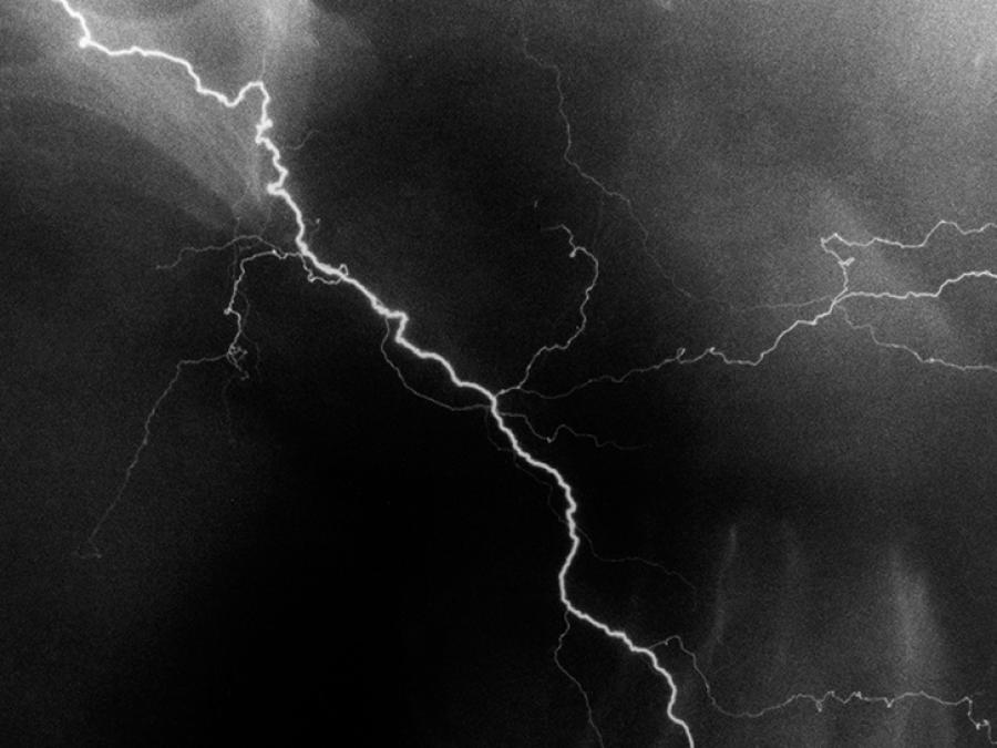
The North Alabama Lightning Mapping Array (NALMA) is a field campaign for validating data from space-based lightning sensors, such as the Lightning Imaging Sensor (LIS), the Geostationary Lightning Mapper (GLM) instrument, and other current and future lightning measurements. NALMA data are also used in convective storm process studies, including the validation of convection-resolving lightning prediction models. The network locates the total lightning activity inside storms using a network of 11 stations around the North Alabama area and 2 stations in the Atlanta, Georgia, area.
Data Centers
The North Alabama Lightning Mapping Array (NALMA) dataset files are stored in compressed ASCII format. These data files have the following file naming convention:
- Compressed NALMA/NRT NALMA files: NALMA_YYMMDD_hhmmss_<####>.dat.gz
- Compressed NALMA Raw Data files: L_NALMA__YYMMDD_hhmmss.dat.gz
- Decompressed NALMA/NRT NALMA files: NALMA_YYMMDD_hhmmss_<####>.dat
- Decompressed NALMA Raw Data files: L_NALMA__YYMMDD_hhmmss.dat
| Variable | Description |
|---|---|
| YY | Two-digit year |
| MM | Two-digit month |
| DD | Two-digit day |
| hh | Two-digit hour in UTC |
| mm | Two-digit minutes in UTC |
| ss | Two-digit seconds in UTC |
| station | NALMA antenna site: firetower, boeing, annex, keel, mtsano, ardmore, aamu, green, hospital, courtland, pulaski, or fayetteville |
| #### | Number of seconds analyzed |
| X | NALMA station ID: A, B, C, D, E, F, G, H, J, K, or M |
| .dat | Analyzed ASCII data file |
| .gz | GNU zip archived file |
NASA data are freely accessible; however, when you publish these data or works based on the data, please cite the datasets used in the publication and include a reference to them in your reference list (including the dataset DOI, if available). References to datasets should have enough detail to provide readers with the ability to obtain the datasets and conduct their own studies based on your work. (For complete provenance and understanding of specifically which parts of data were used and how, it also may be necessary to describe in detail, within the body of the publication, exactly how the data were used.)
Lang, Timothy, Richard Blakeslee, Matthew Wingo, William Rison, Daniel Rodeheffer, and Paul Krehbiel (2020). North Alabama Lightning Mapping Array (NALMA) [indicate subset used]. Dataset available online from the NASA Global Hydrometeorology Resource Center DAAC, Huntsville, Alabama, U.S.A. doi:10.5067/NALMA/DATA101
Lang, Timothy, Richard Blakeslee, Matthew Wingo, William Rison, Daniel Rodeheffer, and Paul Krehbiel (2020). NRT North Alabama Lightning Mapping Array (LMA) [indicate subset used]. Dataset available online from the NASA Global Hydrometeorology Resource Center DAAC, Huntsville, Alabama, U.S.A. doi:10.5067/NALMA/DATA201
Lang, Timothy, Richard Blakeslee, Matthew Wingo, William Rison, Daniel Rodeheffer, and Paul Krehbiel (2020). North Alabama Lightning Mapping Array (LMA) Raw Data [indicate Data User Guide subset used]. Dataset available online from the NASA Global Hydrometeorology Resource Center DAAC, Huntsville, Alabama, U.S.A. doi:10.5067/NALMA/DATA301