The Global Precipitation Measurement Mission Ground Validation (GPM GV) campaign used a variety of methods for validation of GPM satellite constellation measurements prior to and after launch of the GPM Core Satellite, which launched on February 27, 2014. The instrument validation effort included numerous GPM-specific and joint agency and international external field campaigns, using state of the art cloud and precipitation observational infrastructure (polarimetric radars, profilers, rain gauges, and disdrometers). These field campaigns accounted for the majority of the effort and resources expended by GPMGV.
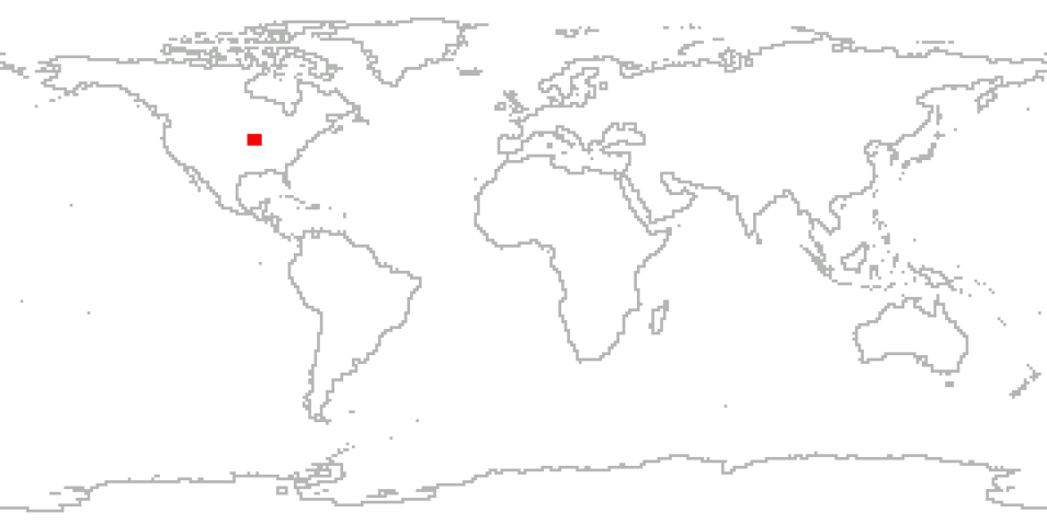
The Iowa Flood Studies (IFloodS) was a ground measurement campaign conducted by NASA and the Iowa Flood Center that took place throughout Iowa from May 1 to June 15, 2013. The main goal of IFloodS was to evaluate how well the GPM satellite rainfall data can be used for flood forecasting. Specifically, this meant collecting detailed measurements of precipitation at the Earth’s surface using ground instruments and advanced weather radars and simultaneously collecting data from satellites passing overhead.
The ground instruments characterize precipitation – the size and shape of raindrops, the physics of ice and liquid particles throughout the cloud and below as it falls, temperature, air moisture, and distribution of different size droplets – to improve rainfall estimates from the satellites, and in particular the algorithms that interpret raw data for the GPM mission’s Core Observatory satellite, which launched in 2014.
Cite the Collection
To cite the entire collection, please use the following:
Petersen, W., W.F. Krajewski. 2018. GPM Ground Validation Iowa FLood Studies (IFloodS) Field Campaign Data Collection [indicate subset used]. Data set available online [http://earthdata.nasa.gov/centers/ghrc-daac] from the NASA EOSDIS Global Hydrometeorology Resource Center Distributed Active Archive Center Huntsville, Alabama, U.S.A. doi:http://dx.doi.org/10.5067/GPMGV/IFLOODS/DATA101
For more information on citing data archived by NASA's Global Hydrometeorology Resource Center Distributed Active Archive Center (GHRC DAAC), see NASA's data use policy.
General Characteristics
| Collections | GPM Ground Validation Products | |
|---|---|---|
| Projects | NASA GPM Ground Validation / IFloodS | |
| Platforms | AQUA, DMSP 5D-2/F13, DMSP 5D-2/F14, DMSP 5D-3/F15, GMS-5, GOES-10, GOES-8, GPM, METEOSAT-6, METEOSAT-7, NOAA-15, NOAA-16, NOAA-17, TRMM, Ground stations | |
| Sensors/Instruments | AMSR-E, AMSU-B, DPR, GOES-10 Imager, GOES-8 IMAGER, PR, SSMI, TMI, VISSR-GMS, VISSR-METEOSAT, probes, rain gauges, NPOL, 2DVD, MRR, Met One Rain Gauge Pairs, NEXRAD, stream gauges, D3R, XPOL, APU | |
| Parameters | Precipitation, Atmospheric water vapor, soil moisture, soils, radar reflectivity, atmospheric winds, stream flow, stream height, clouds | |
| Processing level | 4> | |
| Formats | ASCII, netCDF-4, ASCII-csv, MS Excel, UF, ASCII, netCDF, binary, XML, netCDF-3 | |
