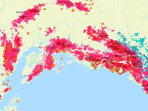
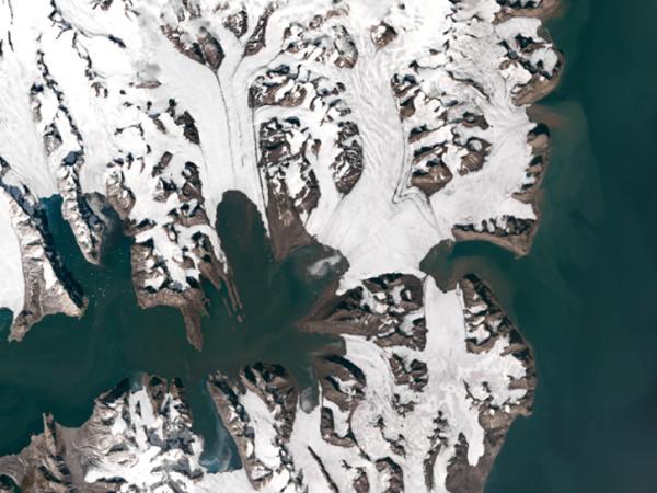
glacier image from GLIMS project
glacier data from GLIMS project
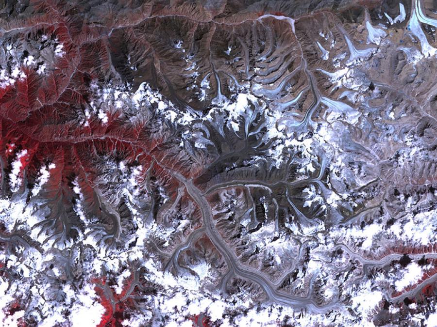
glacier image from GLIMS project

GLIMS

Global Land Ice Measurements from Space

The Global Land Ice Measurements from Space (GLIMS) project is an international initiative to repeatedly survey the world’s glaciers and produce a constantly updated glacier inventory. GLIMS uses data collected by the Advanced Spaceborne Thermal Emission and Reflection Radiometer (ASTER) instrument aboard NASA's Terra satellite and the Enhanced Thematic Mapper+ (ETM+) instrument aboard the joint NASA/USGS Landsat series of satellites, along with historical observations.

The GLIMS Glacier Database was created using data contributions from many glaciological institutions, which are managed by Regional Coordinators who coordinate the production of glacier mapping results for their particular region. The GLIMS Glacier Database provides students, educators, scientists, and the public with reliable glacier data from these analyses. New glacier data are continually being added to the database.

Data Attribute Summary

Parameter: Glacier Extent

Platforms: Landsat, Terra

Sensors: ETM+, ASTER

Data Formats: WMS, WFS, GML, ASCII, Shapefile, KML

Temporal Coverage: January 1, 1850, to present

Temporal Resolution: Not applicable

Spatial Resolution: Varies

Spatial Reference System: WGS 84

Spatial Coverage: Global
HTTPS File System

  • Quickly download a few files using a web browser or access the data through a command-line utility such as WGET

GLIMS Search

  • Provides a parameter-based method for searching for data in the GLIMS Glacier Database

The GLIMS Glacier Viewer was developed to provide the public with easy access to the GLIMS Glacier Database. This Web application allows users to view and query several thematic layers, including glacier outlines, Regional Coordinator institution locations, the World Glacier Inventory, and more.

GLIMS Glacier Viewer

Data within the GLIMS Glacier Database can be accessed through the Open Geospatial Consortium's (OGC) Web Map Service (WMS) and Web Feature Service (WFS) protocols. These services allow access to GLIMS Glacier data directly from desktop GIS software products such as QGIS, ArcGIS, GRASS, or Google Earth, as well as other applications such as MapServer.

To access data layers via WMS from a client such as QGIS, enter:

https://www.glims.org/geoserver/ows?service=wms&version=1.3.0&request=GetCapabilities

as the URL for the layer. The information returned by the GetCapabilities request allows the client to display the all the layers available in the GLIMS system, which includes many Global Terrestrial Network for Glaciers (GTN-G) datasets, such as:

  • Glims Glacier Outlines
  • Extinct Glaciers
  • glacier_photos
  • GLIMS Institutions
  • Glacier Thickness Data
  • and others

GLIMS data can be downloaded into GIS-compatible formats, including ESRI Shapefiles, MapInfo tables, Geographic Mark-up Language (GML), and Keyhole Mark-up Language (KML) suitable for viewing in Google Earth.

Each GLIMS download package can be ordered as a .zip or .tar file and all downloaded compressed folders will have the following file naming convention: glims_download_XXXXX

Where XXXXX is a 5-digit random order number and the extension is dependent on the .zip or .tar selection of the download order. Example: glims_download_08054.zip

GLIMS data are openly shared, without restriction, in accordance with the NASA Earth Science program Data and Information Policy. NASA data are freely accessible; however, when you publish these data or works based on the data, you should clearly cite the data in your research.

Citations

To cite the global GLIMS dataset, please use: GLIMS Consortium. 2005. GLIMS Glacier Database, Version 1. Boulder, Colorado USA. NASA National Snow and Ice Data Center Distributed Active Archive Center. doi: https://doi.org/10.7265/N5V98602. [Date Accessed].

To cite a subset of the GLIMS database, please reference the analysis IDs and associated submitter and analyst(s), as indicated in the following example. Analysis IDs and attributing authors are listed in the CITATIONS.txt file that is provided with your GLIMS download.

Example: GLIMS Consortium. 2005. GLIMS Glacier Database, Version 1. [Analysis IDs 706804- 710644, Paul, Frank (submitter); Azzoni, R.S.; Fugazza, D.; Le Bris, Raymond; Nemec, J.; Paul, Frank; Rabatel, Antoine; Ramusovic, M.; Rastner, Philipp; Schaub, Yvonne; Schwaizer (nee Bippus), Gabriele (analyst(s))]. Boulder, Colorado USA. NASA National Snow and Ice Data Center Distributed Active Archive Center. doi: https://doi.org/10.7265/N5V98602. [Date Accessed].