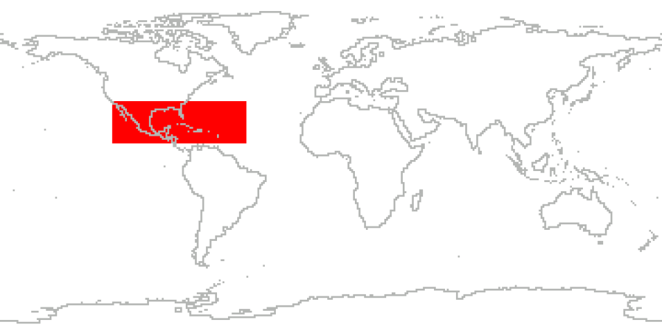
The Convective Processes Experiment - Aerosols & Winds (CPEX-AW) campaign was a joint effort between NASA and the European Space Agency (ESA) with the primary goal of conducting a post-launch calibration and validation activities of the Atmospheric Dynamics Mission-Aeolus (ADM-AEOLUS) Earth observation wind Lidar satellite in St. Croix in the U.S. Virgin Islands.
CPEX-AW took place from August 18, 2021 to September 10, 2021, and is a follow-on to the Convective Processes Experiment (CPEX) field campaign which took place in the summer of 2017. The 2021 field campaign added an aerosol (A) and winds (W) component—CPEX-AW. In addition to joint calibration/validation of ADM-AEOLUS, the CPEX-AW field campaign provided opportunities to study the dynamics and microphysics related to the Saharan air layer, African easterly waves and jets, the marine atmospheric boundary layer, and convection, which not only advanced our understanding of tropical dynamics but also improved weather forecasts.
Cite the Collection
To cite the entire collection, please use the following:
Skofronick-Jackson, Gail, Aaron Piña, and Shuyi Chen. 2021. Convective Processes Experiment – Aerosols & Winds (CPEX-AW) Field Campaign Collection [indicate subset used]. Data available online from the NASA EOSDIS Global Hydrometeorology Resource Center Distributed Active Archive Center, Huntsville, Alabama, U.S.A. doi: http://dx.doi.org/10.5067/CPEXAW/DATA101
For more information on citing data archived by NASA's Global Hydrometeorology Resource Center Distributed Active Archive Center (GHRC DAAC), see NASA's data use policy.
General Characteristics
| Projects | CPEX-AW | |
|---|---|---|
| Platforms | NASA DC-8 | |
| Sensors/Instruments | ADM-Aeolus, APR-3, DAWN, Dropsondes, HALO, HAMSR | |
| Parameters | Radar, Atmospheric Winds, Atmospheric Temperature, Atmospheric Water Vapor, Atmospheric Pressure, Clouds, Microwave, Precipitation, Doppler Velocity, Brightness Temperature | |
| Processing level | 0, 1A, 2 | |
| Formats | ASCII, HDF4, HDF5, MAT, netCDF-3, Word | |
