We are in the process of migrating all NASA Earth science data sites into Earthdata from now until end of 2026. Not all NASA Earth science data and resources will appear here until then. Thank you for your patience as we make this transition.
Read about the Web Unification Project


CAMEX-1
Convection and Moisture Experiment 1
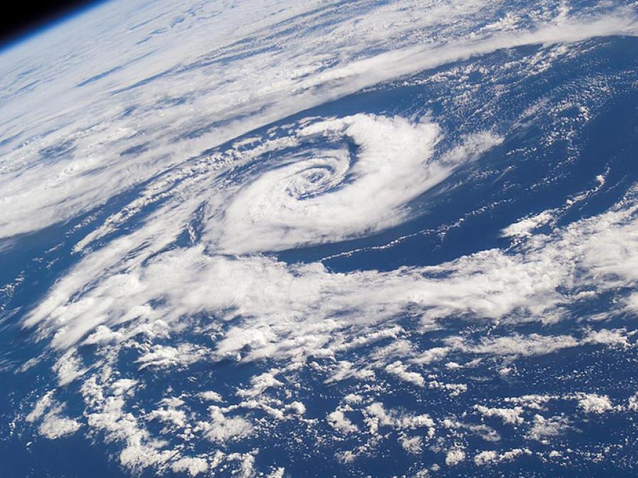
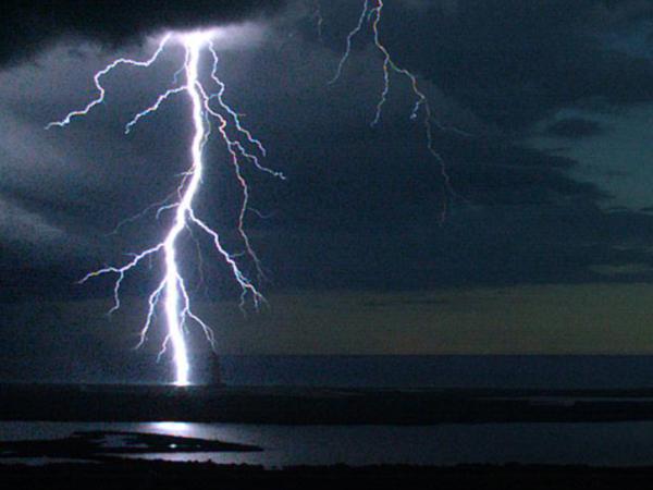
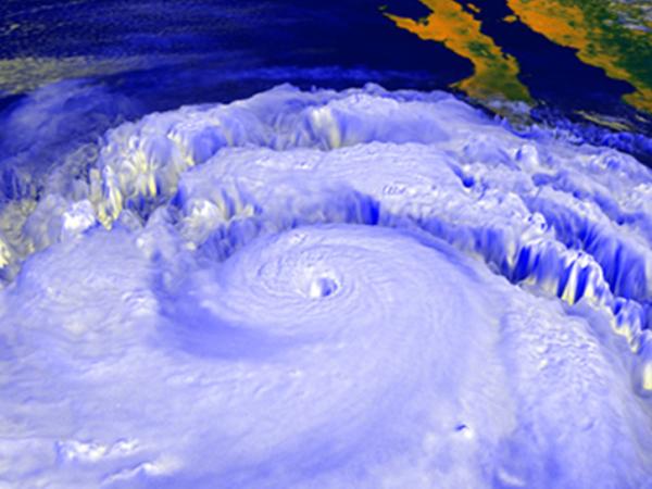
The Convection and Moisture Experiment 1 (CAMEX-1) was a NASA-funded experiment designed to study three-dimensional moisture fields using satellite, aircraft, and ground-based instrumentation, and to study the multifrequency radiometric and lightning signatures of tropical convection in support of NASA's Mission to Planet Earth.
Specifications
| Study Dates | September 8 - October 7, 1993 |
|---|---|
| Season of Study | Boreal fall |
| Spatial Bounds | N: 42° S: 23° E: -68° W: -83° |
Data Centers
GHRC DAAC