We are in the process of migrating all NASA Earth science data sites into Earthdata from now until end of 2026. Not all NASA Earth science data and resources will appear here until then. Thank you for your patience as we make this transition.
Read about the Web Unification Project
Featured Data Tools

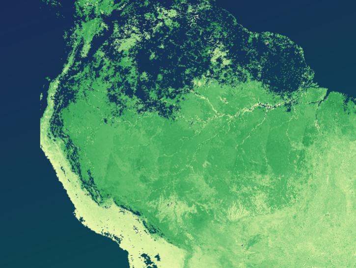
Worldview offers the capability to interactively browse over 1,200 global, full-resolution satellite imagery layers and download the underlying data.
The The Application for Extracting and Exploring Analysis Ready Samples (AppEEARS) offers users a simple and efficient way to perform data access and transformation processes.
Earthdata Search enables data discovery, search, comparison, visualization, and access across NASA’s Earth science data holdings.

The Fire Information for Resource Management System (FIRMS) provides access to satellite imagery, active fire/hotspots, and related products to identify the location, extent, and intensity of wildfire activity.
Earthdata GIS is a resource for distributing cloud-native, GIS-ready NASA Earth science data and services, including over 200 raster and feature geospatial services as well as resources such as thematic applications and ArcGIS StoryMaps.
Explore All Data Tools
| Tool Sort descending | Description | Services | |
|---|---|---|---|
| ACE2 | ACE2 is a map-based tool to download satellite altimeter corrected digital elevation data for environmental, socioeconomic, climate, and other related research. | Downloading | |
| AppEEARS | The The Application for Extracting and Exploring Analysis Ready Samples (AppEEARS) offers users a simple and efficient way to perform data access and transformation processes. | Search and Discovery, Subsetting, Customization, Downloading, Visualization | |
| APT | APT is a web-based application for authoring, managing, and publishing Algorithm Theoretical Basis Documents (ATBDs). | Data Curation | |
| ASDC CALIPSO Search and Subset Tool | The CALIPSO Search and Subset web application enables a more sophisticated approach to selecting and ordering CALIPSO lidar data by date, time and geolocation. | Analysis, Search and Discovery, Visualization | |
| ASDC CERES Search and Subset Tool | The CERES Search and Subset web application enables a more sophisticated approach to selecting and ordering CERES global survey standard data by date, time and geolocation. | Analysis, Search and Discovery, Visualization | |
| ASDC Direct Data Download | ASDC's Direct Data Download tool provides the ability to access and download all publicly available data collections via https. | Analysis, Search and Discovery, Visualization | |
| ASDC MISR Order and Customization Tool | This customization tool for Multi-angle Imaging SpectroRadiometer (MISR) data provides subsets by date, time, and geolocation. | Analysis, Search and Discovery, Visualization | |
| ASF ArcGIS Toolbox | The ASF_Tools ArcGIS Python Toolbox can be used with either ArcGIS Desktop or ArcGIS Pro, and contains tools that perform geoprocessing tasks useful for working with synthetic aperture radar (SAR) data. | Processing | |
| ASF Displacement Portal | Find and utilize Observational Products for End-Users from Remote Sensing Analysis (OPERA) products distributed by ASF DAAC. | Search and Discovery | |
| ASF MapReady | Terrain-correct, geocode, and apply polarimetric decompositions to multi-pol SAR data | Processing |
SHOWING 10 OF 84