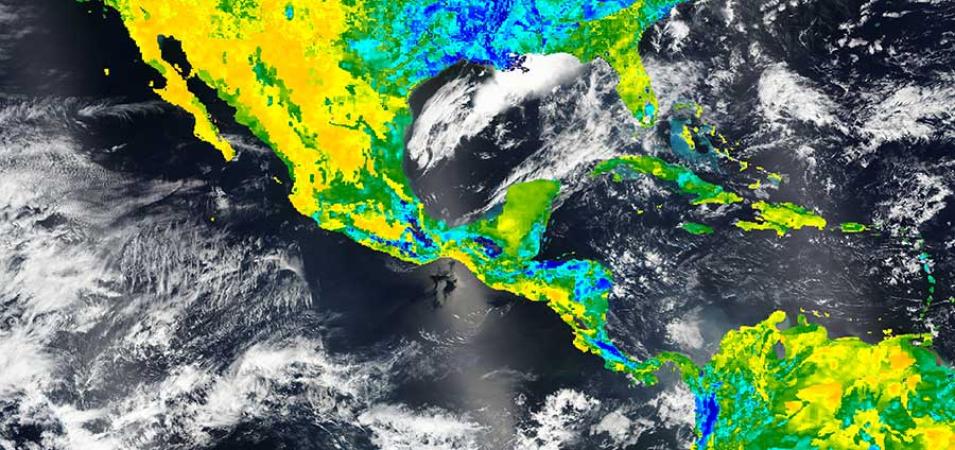
Image of model value-added surface soil moisture (Level 4, 12z Instantaneous) on 24 March 2016 over Central America from the Soil Moisture Active Passive (SMAP) mission.
Visit Worldview to visualize near real-time data from NASA's Earth Observing System Data and Information System (EOSDIS).
