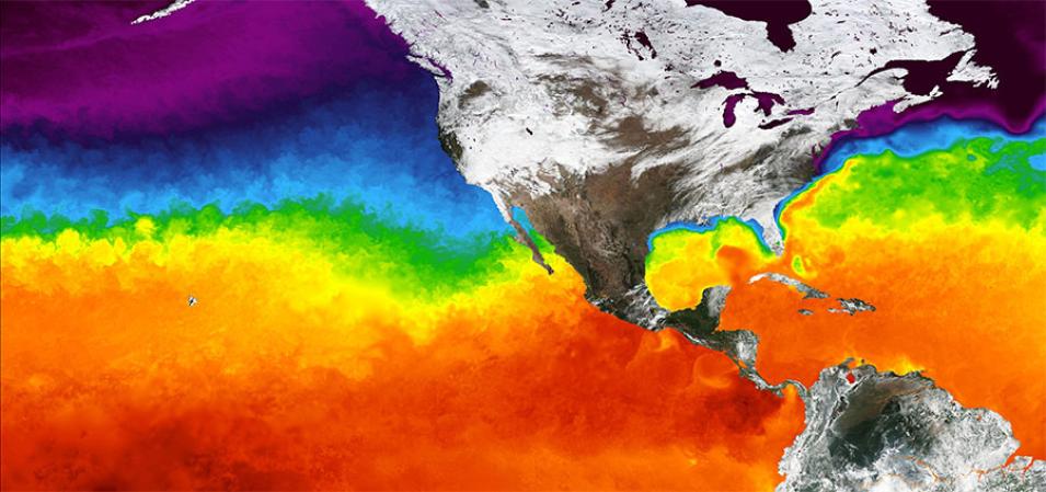
Image displaying sea surface temperature of the Pacific and Atlantic Oceans for 31 January 2016. The Multiscale Ultrahigh Resolution (MUR) layer was created by the Group for High Resolution Sea Surface Temperature (GHRSST). The analysis is based upon nighttime GHRSST L2P skin and subskin SST observations from several instruments including the NASA Advanced Microwave Scanning Radiometer-EOS (AMSR-E), the Moderate Resolution Imaging Spectroradiometer (MODIS) on NASA's Aqua and Terra platforms, the US Navy microwave WindSat radiometer and in situ SST observations from the NOAA in situ SST Quality Monitor (iQuam) project.
Visit Worldview to visualize near real-time data from NASA's Earth Observing System Data and Information System (EOSDIS).
