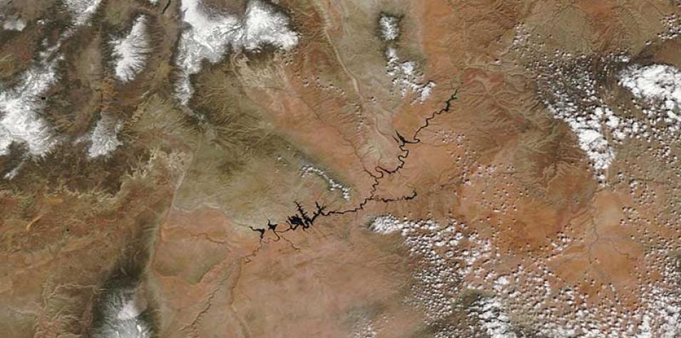
Image of Glen Canyon National Recreation Area, Utah and its surroundings acquired on 26 March 2017 by the Moderate Resolution Imaging Spectroradiometer (MODIS) instrument, aboard the Terra satellite.
Visit Worldview to visualize near real-time (NRT) data from Earth Observing System Data and Information System (EOSDIS).
