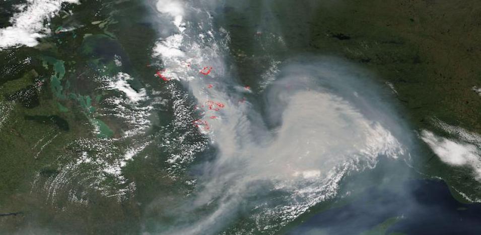
True color corrected reflectance image of fires and smoke in the provinces of eastern Manitoba and northwestern Ontario. This image was acquired by Visible Infrared Imaging Radiometer Suite (VIIRS), aboard the joint NASA/NOAA NOAA-20 satellite. Fires and thermal anomalies are shown as red points in the image, and smoke is visibly emanating from the fire locations.
Visit Worldview to visualize near real-time imagery from NASA's EOSDIS, and check out more Worldview weekly images in our archive.
