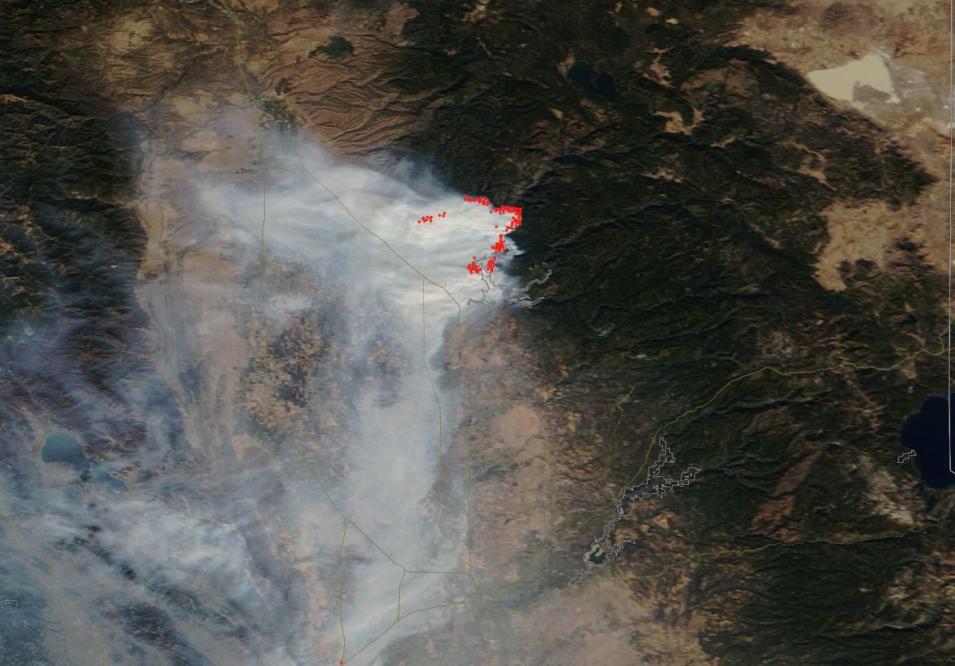
Fires and Smoke From the Camp Fire in California
This is an image of fires and smoke from the Camp Fire along the Route 99 in Butte County, California. This image was acquired on 12 November 2018 by the Moderate Resolution Imaging Spectroradiometer (MODIS) instrument, aboard the Terra satellite.
Use the comparison tool to look at the difference between the landscape on 7 November to 12 November 2018 with the Bands 7-2-1 Corrected Reflectance image from MODIS/Terra. This band combination is useful for distinguishing burn scars as a result of the fires (area in dark red on the left A side of the comparison tool, compared with green on the right B side). The bright red areas on the A side, east of Chico, show the actively burning fire front.
Visit Worldview to visualize near real-time data from NASA's Earth Observing System Data and Information System (EOSDIS).
