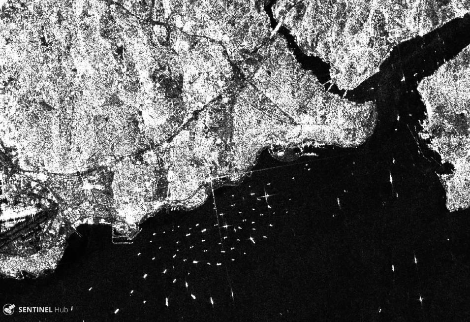
The Synthetic Aperture Radar (SAR) aboard the ESA (European Space Agency's) Sentinel-1A/B satellites provides continuous all-weather, day-and-night imagery at C-band frequencies and operating in four exclusive imaging modes with different spatial resolutions and coverages. SAR is an active data technology where a sensor produces its own energy and then records the amount of that energy reflected back. SAR has the advantage of operating at wavelengths not impeded by cloud cover or a lack of illumination and can acquire data day or night under all weather conditions.
We are in the process of migrating all NASA Earth science data sites into Earthdata from now until end of 2026. Not all NASA Earth science data and resources will appear here until then. Thank you for your patience as we make this transition.
Read about the Web Unification Project
