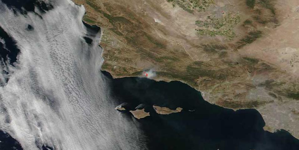
Image of the Sherpa Fire in Santa Barbara, CA, USA, acquired on 17 June 2016 by the Visible Infrared Imaging Radiometer Suite (VIIRS) instrument aboard the joint NASA/NOAA Suomi National Polar-orbiting Partnership (Suomi NPP) satellite. The fire began on 15 June 2016 at approximately 3:15pm. There is anticipated high heat, low humidity and sundowner winds (offshore northerly winds similar to Santa Ana winds that occur at sunset) that may increase fire activity.
Visit Worldview to visualize near real-time data from NASA's Earth Observing System Data and Information System (EOSDIS).
Sources: Sherpa Fire, InciWeb
