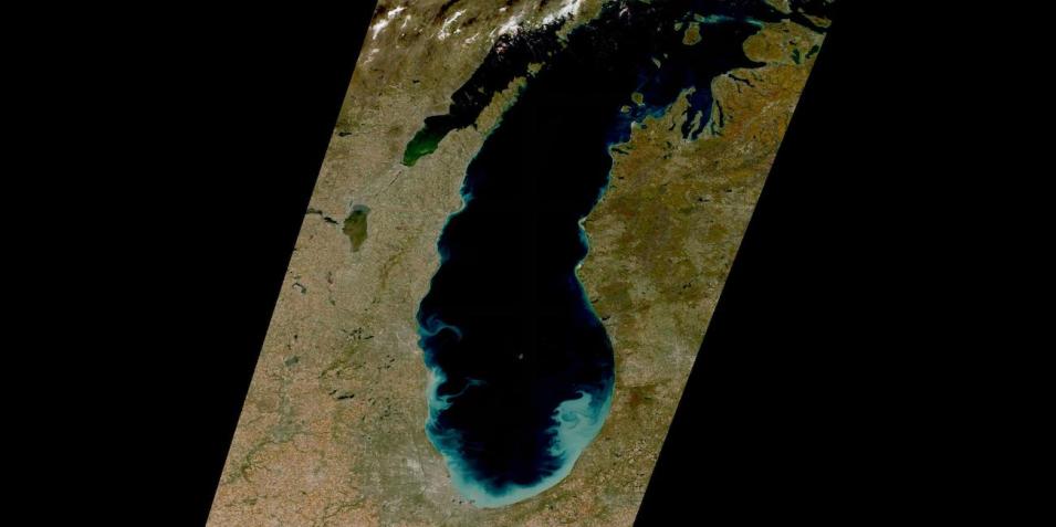
True-color image of swirls of phytoplankton on the southern shore of Lake Michigan, USA. This image was acquired on October 22, 2022 by the Multi-Spectral Instrument (MSI) aboard the ESA (European Space Agency) Sentinel-2A and -2B satellites.
The imagery available in NASA's Worldview are part of the Harmonized Landsat Sentinel-2 (HLS) project, which provides 30 meter resolution true-color surface reflectance imagery from the Operational Land Imager (OLI) and OLI-2 instruments aboard the joint NASA/USGS Landsat 8 and Landsat 9 satellites and MSI aboard ESA's Sentinel-2A and -2B satellites.
The data from the two instruments aboard the four satellites are processed through a set of algorithms to make the imagery consistent and comparable across the instruments. This includes atmospheric correction, cloud and cloud-shadow masking, spatial co-registration and common gridding, illumination and view angle normalization, and spectral bandpass adjustment.
Visit Worldview to visualize near real-time imagery from NASA's EOSDIS, and check out more Worldview weekly images in our archive.
Dataset: doi:10.5067/HLS/HLSS30.002
