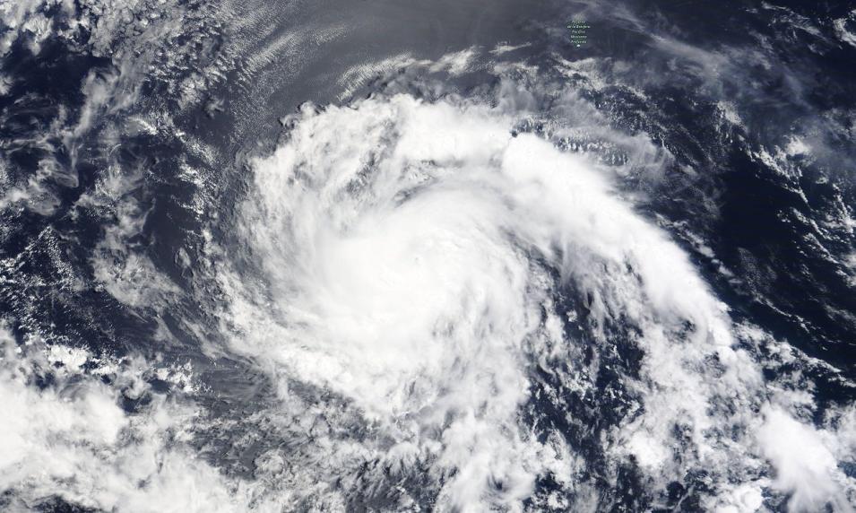
True color corrected reflectance image of Hurricane Darby, currently 925 mi/1,489 km west of Mexico in the Pacific Ocean, on July 11, 2022. This image was acquired by the Moderate Resolution Imaging Spectroradiometer (MODIS) aboard the Terra satellite.
When the image above was captured, the strength of Hurricane Darby was Category 3, with maximum sustained winds of up to 121 mph and a minimum central pressure of 968 hPa. The current path of Hurricane Darby is west towards Hawaii, but the current forecast is for Darby to eventually weaken into a subtropical depression well before it reaches the Hawaiian Islands.
Visit Worldview to visualize near real-time imagery from NASA's EOSDIS, and check out more Worldview weekly images in our archive.
