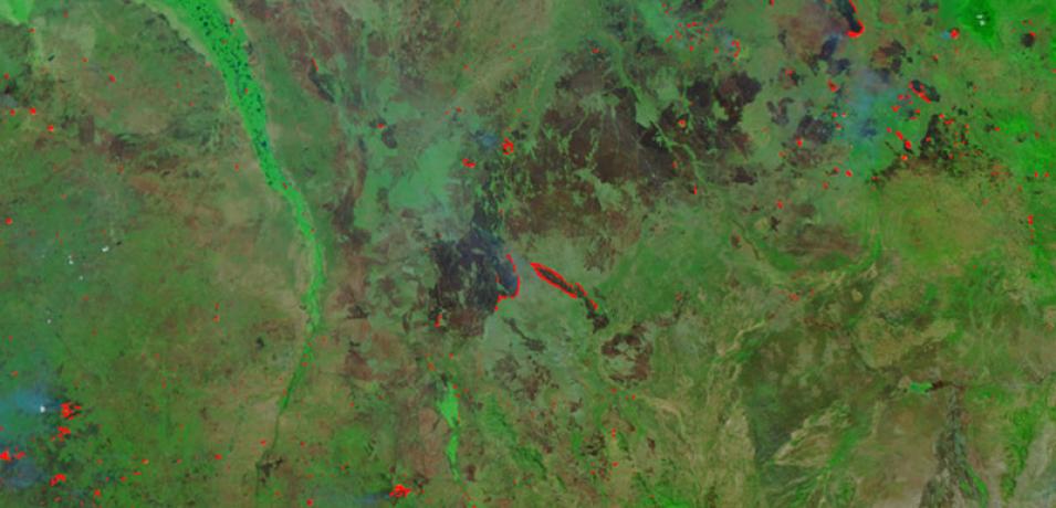
Image of fires in South Sudan, acquired on 13 January 2019 by the Visible Infrared Imaging Suite (VIIRS) instrument, aboard the joint NASA/NOAA Suomi National Polar-orbiting Partnership (Suomi NPP) satellite.
This false-color image using VIIRS bands M11-I2-I1 is useful for distinguishing burn scars. The center of the image shows two active fire fronts, represented by red dots, adjacent and surrounding the previously burned area in brown.
Visit Worldview to visualize near real-time imagery from NASA's Earth Observing System Data and Information System (EOSDIS).
