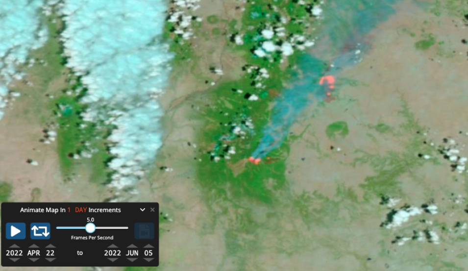
The map above shows a false-color corrected reflectance image of the Calf Canyon and Hermits Peak Fire in New Mexico on June 5, 2022. This image was acquired by the Visible Infrared Imaging Radiometer Suite (VIIRS), aboard the joint NASA/NOAA Suomi National Polar-orbiting Partnership (Suomi NPP) satellite. Overlaid on the image are red points indicating active fire detections. The false-color image is a false-color Red-Green-Blue (RGB) composite where Red is M11, Green is I2, and Blue is I1. This band combination is most useful for distinguishing burn scars from naturally low vegetation or bare soil and enhancing floods. Vegetation appears green, water is black/dark blue, burn scars are red, and the actively burning fire fronts are bright red.
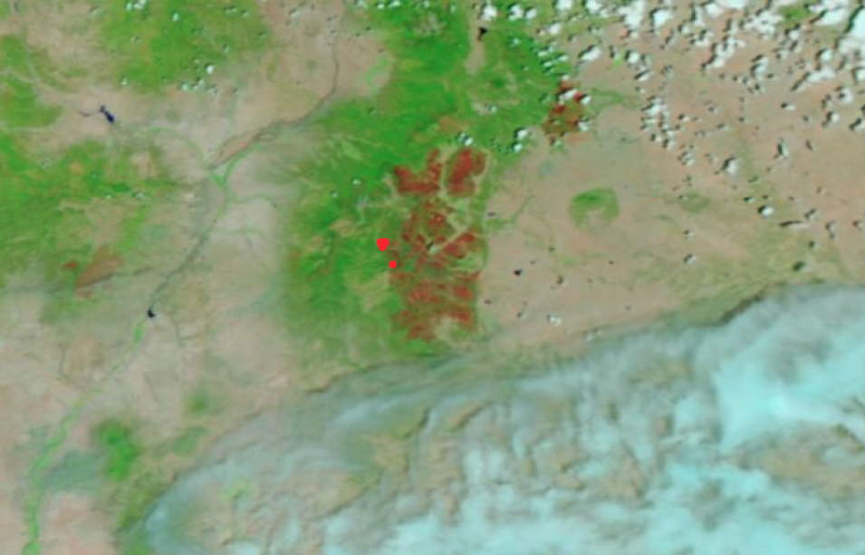
Calf Canyon and Hermits Peak Fires
Click the map above and then click on the "Play" button to see how much the fires spread from April 22, 2022 to June 5, 2022. The Hermits Peak Fire started on 6 April after a prescribed burn escaped its burn boundaries due to unexpected erratic winds. The Calf Canyon Fire started on April 19 was caused by a sleeper fire or holdover fire, where the fire remained dormant under snow cover over the winter and emerged again in April. These fires merged into a fire complex on April 22 as seen in the animation. As of June 7, 2002, the fire complex was 65% contained.
Visit Worldview to visualize near real-time imagery from NASA's EOSDIS; check out more Worldview weekly images in our archive.
Sources: Calf Canyon Fire, InciWeb - Incident Information System