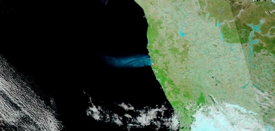
False-color corrected reflectance image of a bushfire nearing Jurien Bay in western Australia, 2 hours north of Perth, on December 13, 2022. This image was acquired by the Visible Infrared Imaging Radiometer Suite (VIIRS), aboard the joint NASA/NOAA Suomi National Polar orbiting Partnership (Suomi NPP) satellite.The image is a false-color Red-Green-Blue (RGB) composite where Red is Band 7, Green is Band 2, and Blue is Band 1.
This band combination is most useful for distinguishing burn scars from naturally low vegetation or bare soil and for enhancing floods. Vegetation appears green, water is black/dark blue, burn scars are red, and the actively burning fire front is bright red. Smoke in light blue is also visibly emanating from the fire and blowing over the ocean.
Visit Worldview to visualize near real-time imagery from NASA's EOSDIS; check out more Worldview weekly images in our archive.
