The vision of NASA’s Earth Science Data Systems (ESDS) Program is to identify and deliver high value Earth science data in formats compliant and compatible with Geographic Information Systems (GIS) standards; to ensure data are interactive, interoperable, accessible, and GIS-enabled through primary GIS platforms; and to provide the maximum impact to research, education, and public user communities requiring data visualization and spatial analysis. The ESDS GIS Team (EGIST) works to enable the appropriate use and adoption of GIS technology in support of Earth science research and applied science.
NASA Earth Science Teams Support the Federal GIS Community
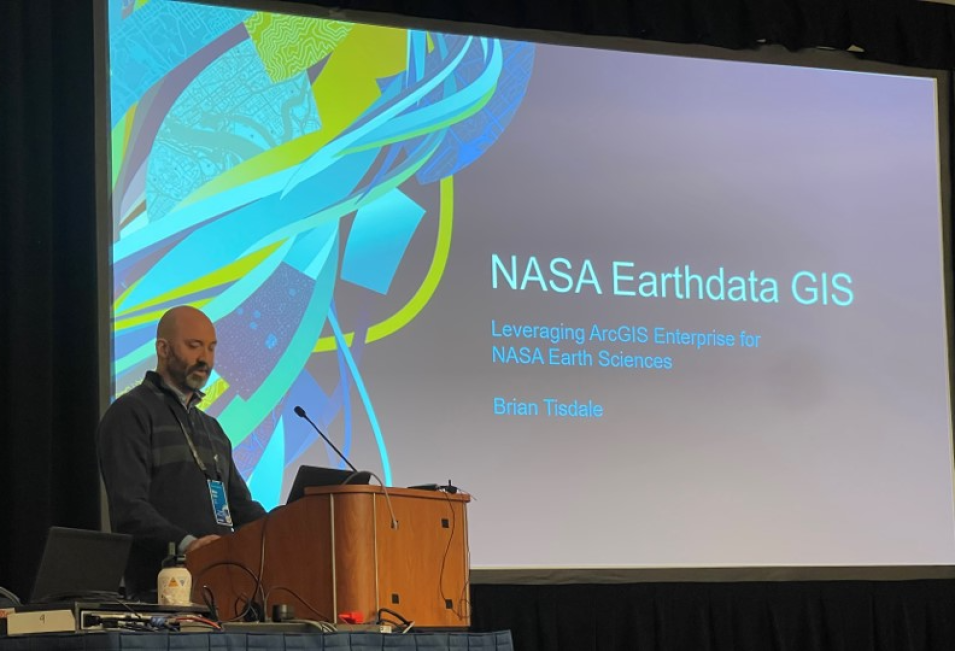
EGIST members and GIS specialists from NASA’s Earth Science Division demonstrated geospatial products developed by NASA teams and showcased eye-catching maps, apps, and spatial analytics at the Esri Federal GIS Conference February 7-8, 2023. More than 5,000 attendees representing federal, state, and local governments, the commercial sector, and academia participated in the event.
NASA Earth Science exhibited a booth at the expo to engage with attendees, provide demonstrations, and educate visitors about NASA Earth observations and GIS resources. Additionally, the NASA team led an Earth Science User Group meeting that included interactive engagement, lightning talks to demonstrate new capabilities, an overview of available resources, and an open feedback session to learn more about the use of NASA data in GIS tools.
Along with EGIST, NASA conference participation was supported by the Earthdata GIS (EGIS) enterprise, members of NASA’s Earth Science Data and Information System (ESDIS) Project, and NASA Applied Sciences programs and projects, including the Disasters and Climate & Resilience program areas, DEVELOP, the Applied Remote Sensing Training Program (ARSET), and the Prediction of Worldwide Energy Resources (POWER) project.
The group will continue engagement at future events to show how NASA Earth Science can enable open science through GIS technology.
