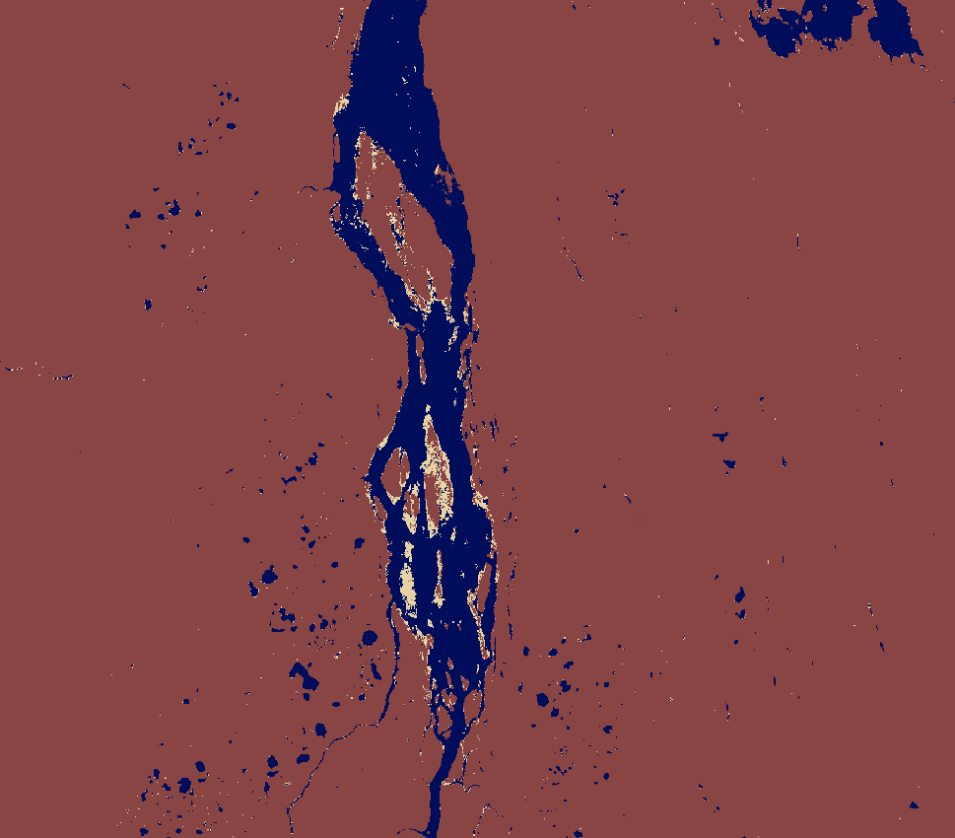
A recently updated dataset at NASA’s Oak Ridge National Laboratory Distributed Active Archive Center (ORNL DAAC) provides the location and extent of surface water for the entire Boreal and Tundra regions of North America and enables comparisons of changes in water extent over 20 years. The Surface Water Extent, Boreal and Tundra Regions, North America, 1991-2011, dataset (doi: 10.3334/ORNLDAAC/1324) was first released in June 2016; this update corrects spatial reference information for GeoTIFF files and supersedes all earlier data files.
The dataset is part of NASA’s Arctic Boreal Vulnerability Experiment (ABoVE) field campaign that is being conducted in Alaska and Western Canada to study environmental change in this region and the implications of these changes on social-ecological systems. The dataset features data covering 20 years in three decadal time steps: 1991, 2001, and 2011, which are referred to as “epochs.” The overall dataset objective is to generate a map of the nominal extent of water for a specific epoch (1991, 2001, or 2011), where “nominal” depicts the representative water extent for that time period. Images for each epoch were generated using at least three years of ice-free imagery from Landsat 4 and 5 Thematic Mapper (TM) data and Landsat 7 Enhanced Thematic Mapper (ETM+) data.
ORNL DAAC is NASA’s archive for Earth observing data related to biogeochemical and ecological data and models. The ABoVE: Surface Water Extent, Boreal and Tundra Regions, North America, 1991-2011, dataset is part of ORNL DAAC’s Land Use and Human Dimensions science theme, which comprises 285 topic-related datasets.
Explore the ABoVE: Surface Water Extent, Boreal and Tundra Regions, North America, 1991-2011, dataset using ORNL DAAC’s Spatial Data Access Tool (SDAT) https://webmap.ornl.gov/ogc/dataset.jsp?ds_id=1324
Explore ORNL DAAC ABoVE datasets: https://daac.ornl.gov/above
