Still, Pritchard said, it's important to remember that volcanic eruptions and earthquakes can't be predicted. "Volcanoes have very different personalities," he said. "Sometimes they do things we expect, but sometimes they surprise us. Sometimes magma moves underneath the volcano, but it doesn't necessarily lead to an eruption."
Knowing precisely which volcanoes to monitor can help researchers concentrate their ground studies in the areas at most risk. An example of how effective monitoring can save lives came in June 1991 when seismic data revealed that earthquakes were occurring at Mount Pinatubo in the Philippines. The Philippine Air Force's Air Base command notified local towns that the volcano might erupt, and 60,000 people were evacuated. Officials estimate that 20,000 people would have died if the eruption alert had not been issued.
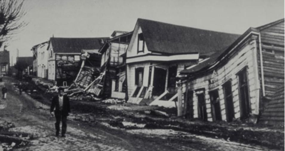
For the past year, Pritchard has applied InSAR data to earthquakes with the same striking results he observed with the volcanoes. "With a large earthquake -- a magnitude 7 or 8 -- it's no mystery that a fault slip occurred," he said. "But exactly which area slipped and where another slip might occur in the future aren't as apparent." And sometimes, the earth slips slowly with no quake at all, triggering Pritchard's newest questions: "Can a silent earthquake accelerate into a violent earthquake?"
In the Pacific Northwest, GPS recordings show that a silent earthquake occurs beneath Washington State and British Columbia about once every 14 months, but no one on the ground even notices it happening. Pritchard is looking for the same phenomena in the Andes where, unfortunately, there are few continuously operating GPS stations.
Since silent earthquakes may take days, weeks, or even months to occur, they don't send out seismic waves, Pritchard said. So, he watches them to try to learn how to assess potential hazards. "There appear to be some faults that never produce large earthquakes," he said. "And maybe there are also a few silent earthquakes that never evolve into a major event."
Pritchard and his colleagues sometimes joke about things seen in satellite images that don't actually appear on ground, like "the lost city of Atlantis." Some have suggested that the continent disappeared into Lake Titicaca in Bolivia, based on descriptions by Plato. But for Pritchard, the movements of the Earth hold plenty of fascination without lost cities.
"Some people claim to see evidence of Atlantis in satellite data," said Pritchard. "But if they saw the same area from the ground, they'd realize it's not Atlantis." But he does agree that observations from space often lead to discoveries that could take years to find from the ground alone, and he believes it's important to use both ground and remote sensing techniques.
"In satellite imagery, we get a bird's-eye view of where the deformation is happening," he said. "We spend most of our time looking at those images and using models to interpret the data, but we still like to get out in the field to see what's happening from the ground."
References
Pritchard, Matthew E. and Simons, M. 2004. An InSAR-based survey of volcanic deformation in the southern Andes. Geophysical Research Letters . 31, L15610, doi:10.1029/2004GL020545.
Pritchard, Matthew E. and Simons, M. 2004. Surveying volcanic arcs with satellite radar interferometry: the central Andes, Kamchatka, and beyond. GSA Today. 14 (8), 4-11.
For more information
NASA Alaska Satellite Facility Distributed Active Archive Center (ASF DAAC)
U.S. Geological Survey Earthquake Hazards Program
U.S. Geological Survey Volcano Hazards Program
| About the remote sensing data used |
| Satellite |
SAR interferometry (InSAR) |
Global Positioning System (GPS) data |
| Parameter |
ground movement and deformation |
ground movement and deformation |
| DAAC |
NASA Alaska Satellite Facility Distributed Active Archive Center (ASF DAAC) |
ASF DAAC |


