Alerts on fire
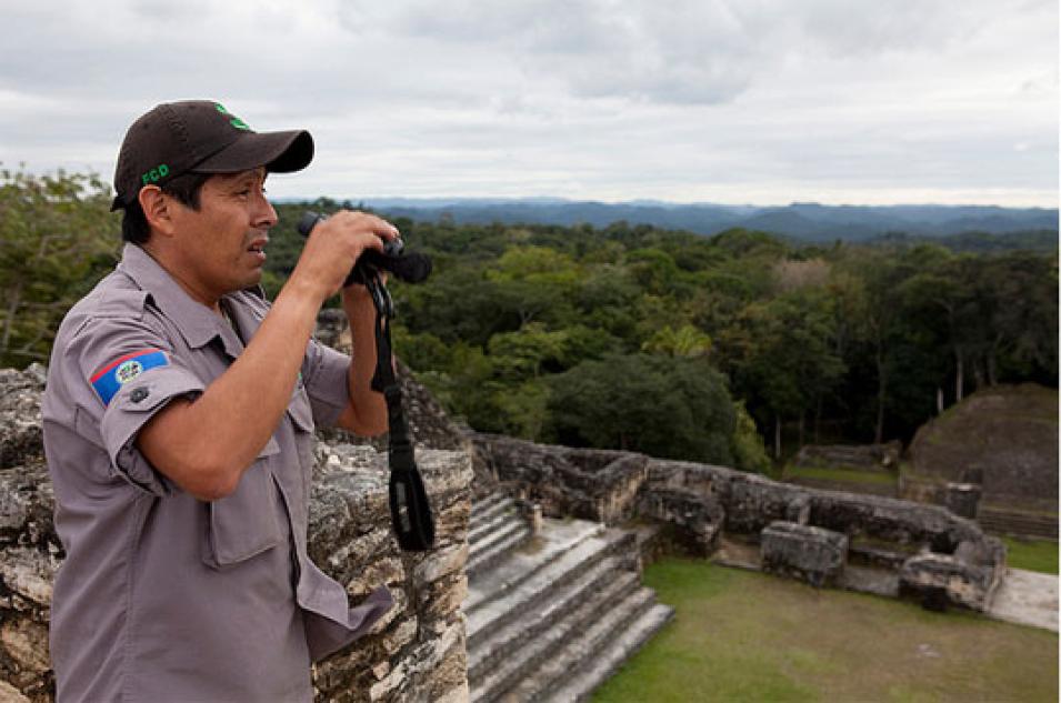
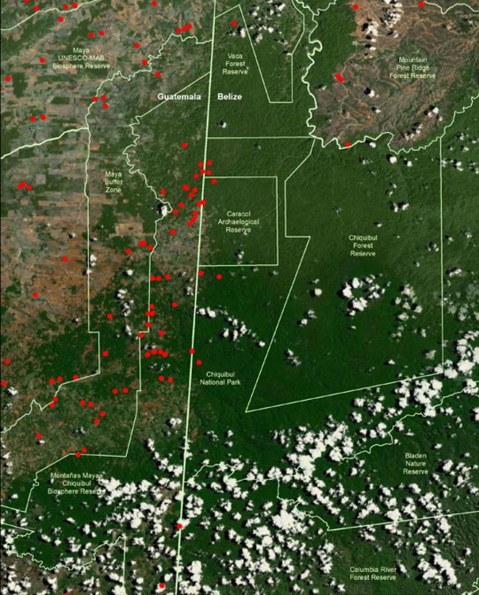
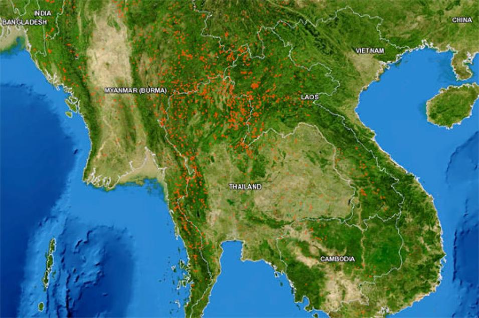
Manzanero’s and Tanpipat’s stories are not unique. According to the United Nations Global Fire Monitoring Center, humans cause the majority of the world’s forest fires. Although it is not clear how many acres of forests are lost to slash and burn, it is known that about 250 million people practice it worldwide. In addition, people burn acres of forests for grazing and hunting. FIRMS fire alerts currently help natural resource managers, policy makers, and scientists protect forests from slash and burn farming, and other causes of fire, in over 120 countries.
NASA's Aqua and Terra satellites carry the Moderate Resolution Imaging Spectroradiometer (MODIS) instrument, which was originally designed for Earth science research, but has proven to detect many other surface features, including the thermal signal of a fire. FIRMS project manager Diane Davies said, “FIRMS transitioned from serving the NASA community to serving a global community. In this sense, this is a success story.” This success included getting the data quickly to users and in a way that was practical for them. Davies said, “We know that many of our users have poor internet access. This was the main reason we developed the e-mail alert service.” Davies used to monitor fires in Namibia’s Etosha National Park using satellite data and knew how hard it was to access remote sensing data from the field. She helped develop the first version of the FIRMS fire alerts for protected areas in Bolivia, Madagascar, Namibia, Paraguay, and South Africa. Since FIRMS was launched in January 2007, subscribers to the fire alerts have grown from 580 to 4,064. The United Nations Food and Agriculture Organization (FAO) began offering FIRMS data in 2010 through its Global Fire Information Management System (GFIMS) Web site.
Like Manzanero and Tanpipat, subscribers are discovering that the fire alerts highlight other aspects about human life affected by the fires. Subscribers use the alerts to educate farmers about the environmental impacts of fire, create fire maps for decision-makers and the general public, and to improve air quality studies. Subscribers have even used them to keep an eye on humanitarian situations. Using a fire as a proxy for conflict situations, policymakers monitored possible “genocide fires” in the Darfur region of Sudan. “Our goal is to get fire information into the hands of users so it can be used for informing decisions,” Davies said.
References
Davies, D. K., S. Ilavajhala, M. M. Wong, and C. O. Justice. 2009. Fire Information for Resource Management System: Archiving and distributing MODIS Active Fire Data. IEEE Transactions on Geoscience and Remote Sensing 47(1): 72–79, doi:10.1109/TGRS.2008.2002076.
Tanpipat, V., K. Honda, and P. Nuchaiya. 2009. MODIS Hotspot Validation over Thailand. Remote Sensing 1(4): 1,043–1,054, doi:10.3390/rs1041043.
For more information
NASA Fire Information for Resource Management System (FIRMS)
United Nations Food and Agricultural Organization Global Fire Information Management Systems (GFIMS)
| About the remote sensing data used |
|---|
| Satellite | Terra and Aqua |
| Sensor | Moderate Resolution Imaging Spectroradiometer (MODIS) |
| Datasets | Level 2 Fire Product MOD14 (Terra), MYD14 (Aqua) |
| Resolution | 1 kilometer |
| Parameter | Fire and thermal anomalies |
| Site | NASA Fire Information for Resource Management System (FIRMS) |
The photograph in the title graphic shows a protected forest in northern Thailand burning on March 8, 2007. FIRMS can detect fires like this and inform natural resource managers and fire fighters in near real-time. (Courtesy V. Tanpipat)


