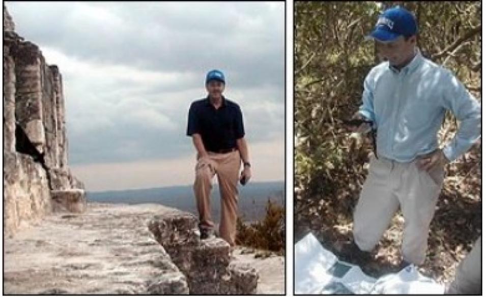
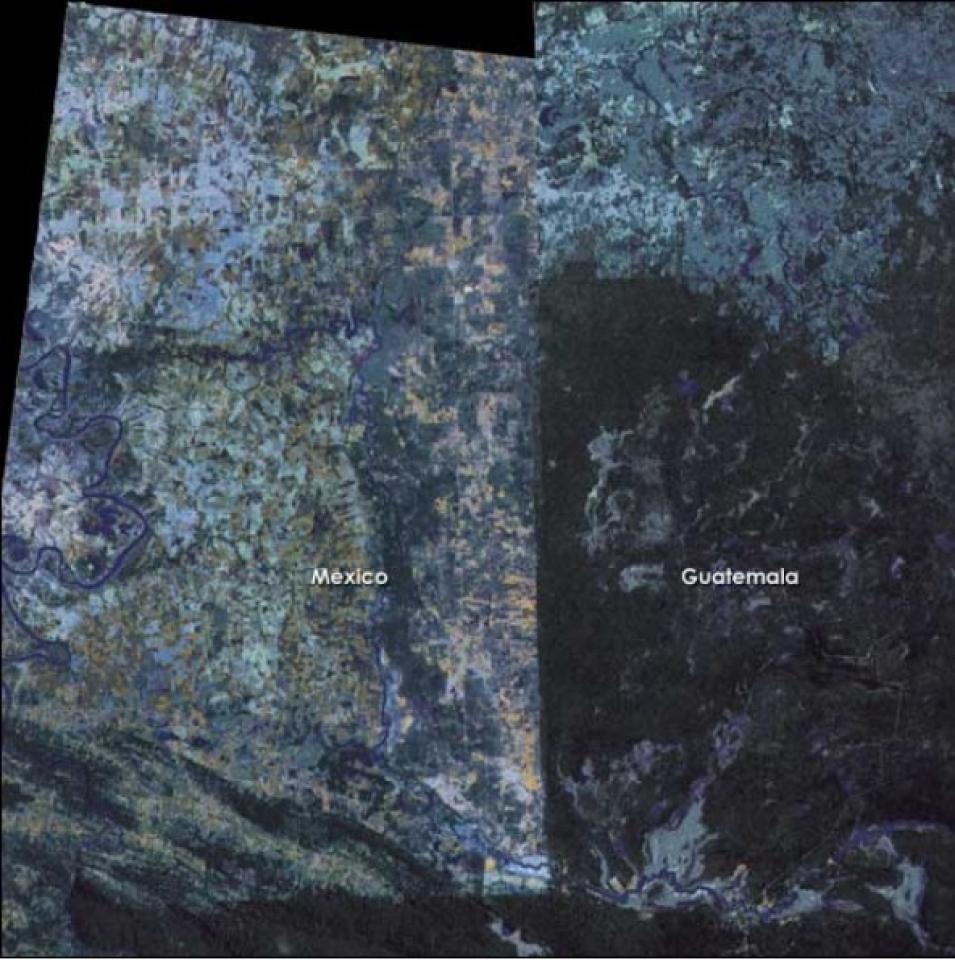
Irwin began working with Sever in the early 1990s as an employee of Conservation International. “I planned to be in Central America for two months and came back five years later,” Irwin said. He distinctly remembers the moment he decided to stay and continue his work there, which occurred one evening when he showed some of Sever’s satellite images to a rural Guatemalan community.
Unlike their president, the villagers initially had trouble understanding the images. “They had never worked with maps or any type of spatial data,” Irwin said. “Part of the process was showing them, ‘This is a road near you’ and ‘This is a lake.’ All of a sudden, the light bulbs turned on and they became very interested.”
Once the villagers understood what they were seeing, they shared the Guatemalan Congress’ concern for the rainforest. “This society was an agricultural community, and the people had assumed that you could keep on developing more fields and bringing more people up, and the forest would last forever,” he said. “But I showed them that the Mexican border really wasn’t that far away, and that Mexico’s side had been completely deforested. It was an amazing moment that I’ll never forget. With that, I made the decision to continue on and do this type of work.”
Choosing a Sustainable Future
Remote sensing observations provided by NASA’s data centers have been critical for monitoring the health of the Mesoamerican Biological Corridor. Through routine satellite observations, researchers can monitor important ecosystem vital signs, such as rainfall, vegetation productivity, cloudiness, and forest gains or losses over the entire area. Oglesby and his colleagues will be archiving the results from their modeling experiments on the climate impacts of the Mayan deforestation at the Global Hydrology Resource Center at NASA’s Marshall Space Flight Center.
While they hope Central American forests can be spared the kind of clear-cutting seen in Mexico, the researchers don’t want to stop all development in the region. “The purpose isn’t to discourage any development, but to encourage improved development,” Irwin said.
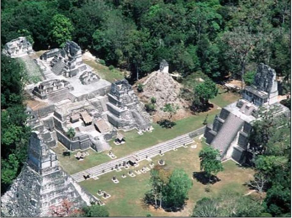
Remote-sensing data and modeling technology have already enabled natural resource managers in Mesoamerica to predict and avoid environmental damage. Irwin recalled a proposal to build a road through the middle of a reserve to connect two archaeological sites. Using data on how deforestation spreads outward from roads, the scientists developed a model that examined the road’s distance from water, the surrounding soil type, and other factors. “We made an animation of what the place would look like in one year, two years, four years, etc. That particular study was a factor in the decision to build the road around the reserve instead,” Irwin said.
Irwin is also encouraged by improved agricultural practices, such as shaded coffee. In a traditional coffee plantation, farmers typically cut down all the trees, a process that’s harmful to wild birds, including local species like macaws and quetzals, and migrating songbirds. By planting shade-tolerant coffee around existing trees, farmers can strike a balance. “You can find all kinds of birds on shaded coffee plantations. It’s a type of agriculture that goes along with the theme of the corridor,” he said.
Using Satellite Data to Study the Corridor
Sever and Irwin are now providing Mesoamerican scientists, policymakers, and land managers with direct access to satellite data and models. “The Guatemalan Minister of the Environment wants to replace his old topographic map with a plasma TV showing the latest data,” Irwin said.
To improve general access to remote-sensing data, NASA has partnered with the U.S. Agency for International Development, the World Bank, the Central American Commission for Environment and Development, and several U.S. universities to develop the SIAM-SERVIR Website. The site offers a satellite data archive and distribution system for professional researchers, maps for more casual users, visualizations, and a decision support system that provides information to researchers and policymakers.


