Dr. Sharyl Byram, Chief, Earth Orientation Parameters Combination and Prediction and GPS Analysis Division, Earth Orientation Department, United States Naval Observatory
Research Interests: Precision Orbit Determination and parameter estimation of the Global Navigation Satellite System constellations and improving observational error through the use of collocated techniques.
Research Highlights: Whenever a smartphone app helps us navigate an unfamiliar city or tells us how to get around a roadway-clogging fender-bender, it can be tempting to credit the app's creators for saving us time and trouble. Yet, as beneficial and convenient as these applications are, we should really credit the unseen satellite networks of the Global Navigation Satellite System (GNSS) for helping us get where we’re going.
The GNSS is an overarching term for the network of satellite constellations providing position, navigation, and timing information on a global basis. The Global Positioning System, or GPS—the name for the constellation of positioning satellites owned and operated by the United States—is part of it. So is Europe's Galileo constellation, Russia's GLObal NAvigation Satellite System constellation, and China's BeiDou satellite constellation.
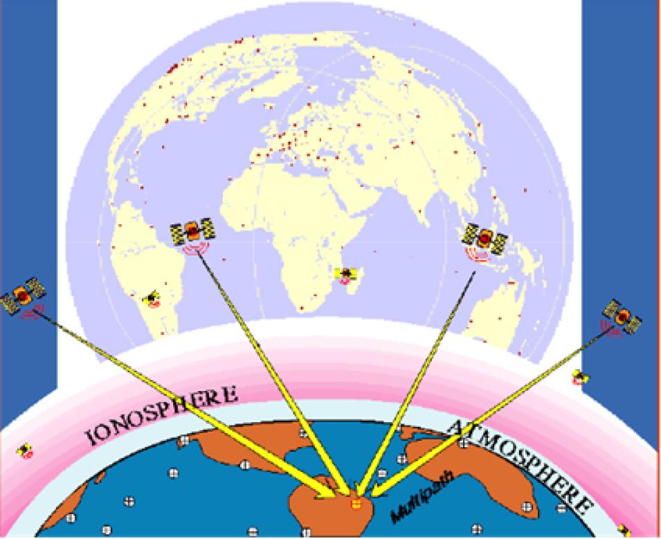
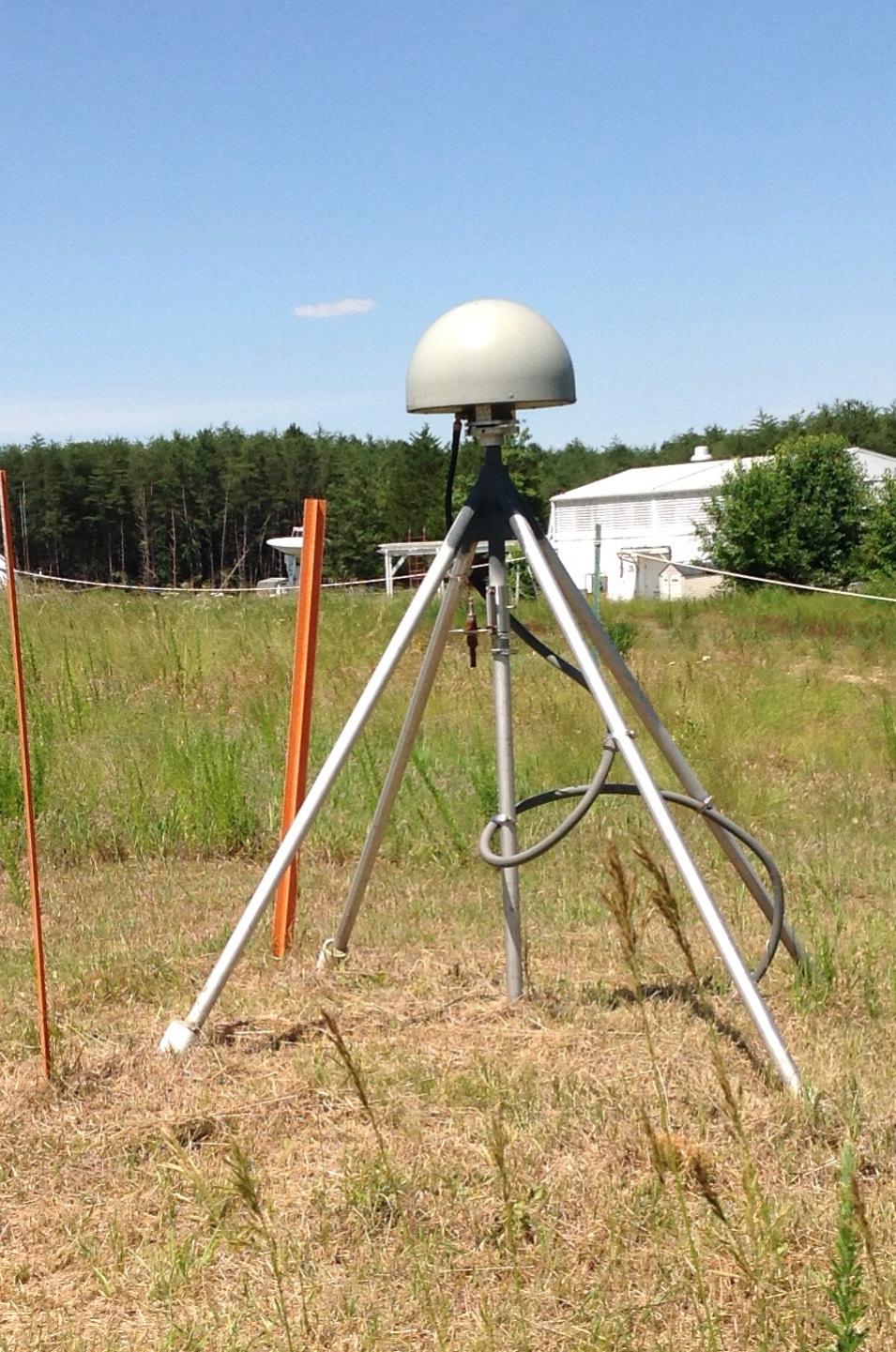
GNSS systems have three components: satellites with synchronized clocks circling the globe in well-known orbits, ground controllers, and a ground segment that provides data to users. Each satellite completes two orbits every day and sends out a unique one-way signal. Ground controllers keep track of satellite orbits and ensure that the clocks aboard each satellite are synchronized. Satellite signals are collected by a global network of receivers that detect, decode, and process these signals. Using signals from at least four satellites, a precise location in three-dimensions (within millimeters or less) along with precise time can be determined for any point on Earth. Further, by comparing measurements over time, minute elevation and distance changes at a station can be calculated.
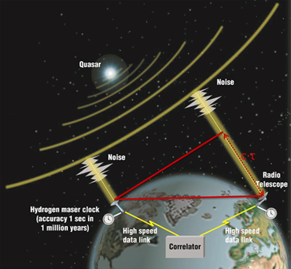
GNSS is just one several techniques used in the field of geodesy—the science of measuring and monitoring Earth to determine the exact coordinates of any point on the globe—and it lies at the center of the work of Dr. Sharyl Byram, Chief of the Earth Orientation Parameters Combination and Prediction (EOPCP) and GPS Analysis Division in the Earth Orientation Department of the United States Naval Observatory (UNSO).


