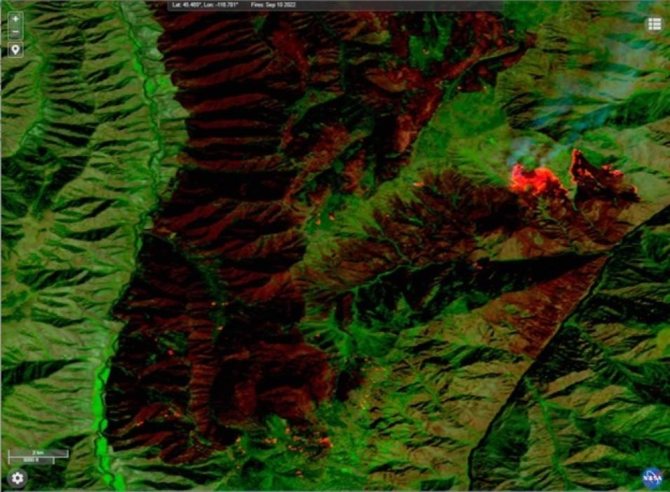
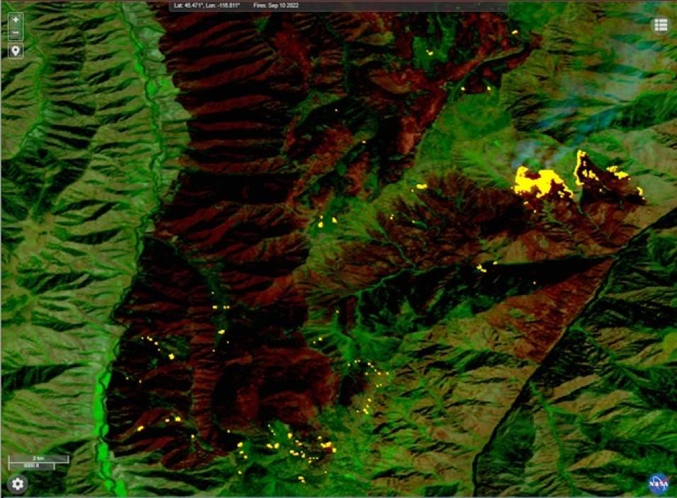
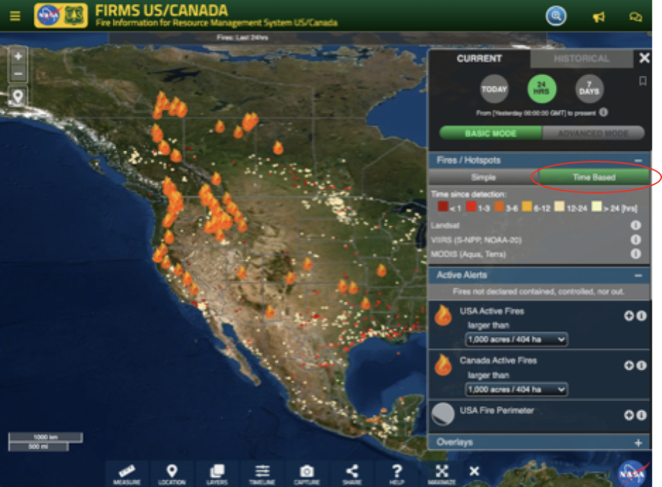
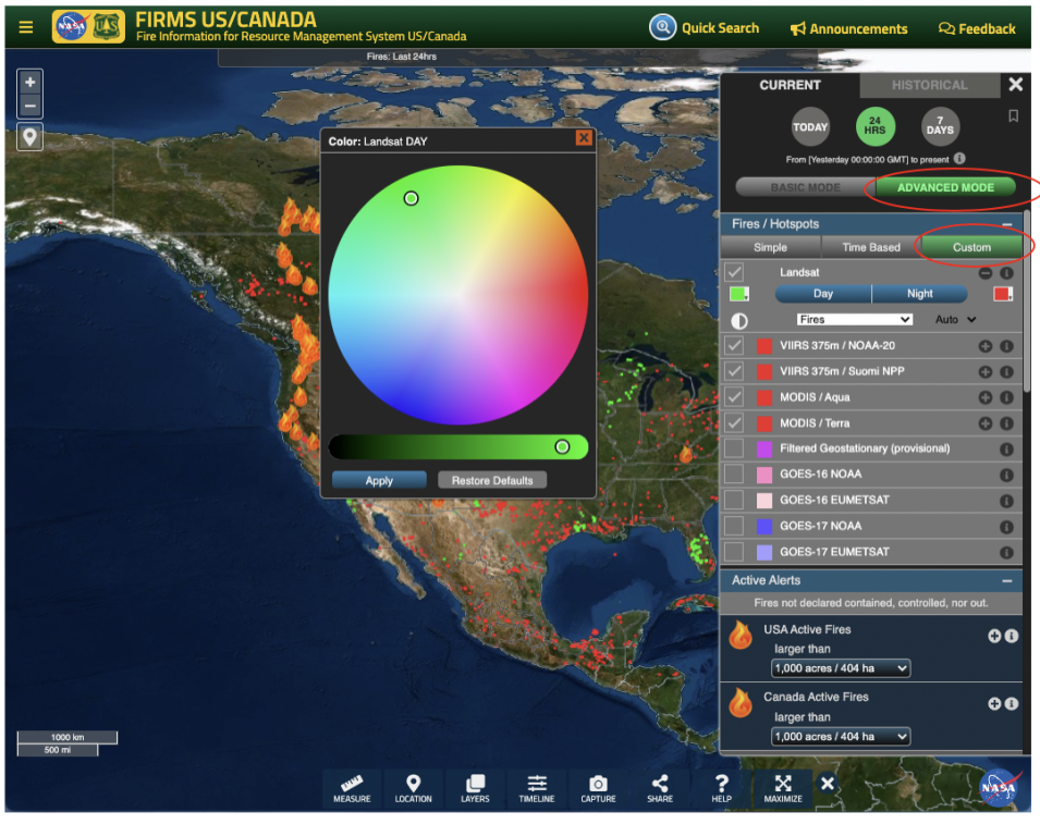
Earlier this year, we highlighted the availability of Landsat 8 and Landsat 9 Operational Land Imager (OLI) imagery in the FIRMS map viewers. This imagery, provided by NASA's IMPACT project, enables a relatively high spatial resolution perspective of fire activity and post-fire effects. Similar to MODIS and VIIRS, we are now providing active fire data in FIRMS, generated from Landsat observations.
This new near real-time (NRT) Landsat Fire and Thermal Anomaly (LFTA) active fire product is the result of an ongoing collaboration by NASA LANCE/FIRMS, University of Maryland, USDA Forest Service and USGS EROS Data Center. The total elapsed time from satellite overpass to the availability of Landsat active fire detection data in FIRMS is 30 minutes or less. Users should note that these Landsat active fire detection data are provided much sooner than the Harmonized Landsat-Sentinel (HLS) imagery products, that are dynamically generated, and currently available in FIRMS approximately 2 days after acquisition.
Daily Landsat 8 and Landsat 9 OLI data for CONUS and most of Canada and Mexico are collected via direct readout by USGS EROS Data Center in Sioux Falls, South Dakota. At the request of NASA and the USDA Forest Service, USGS developed a near real-time data processing framework that provides Level 1 terrain corrected Landsat OLI imagery. This data is subsequently processed using NASA science data processing algorithms to generate Level 2 30 meter resolution active fire data.


