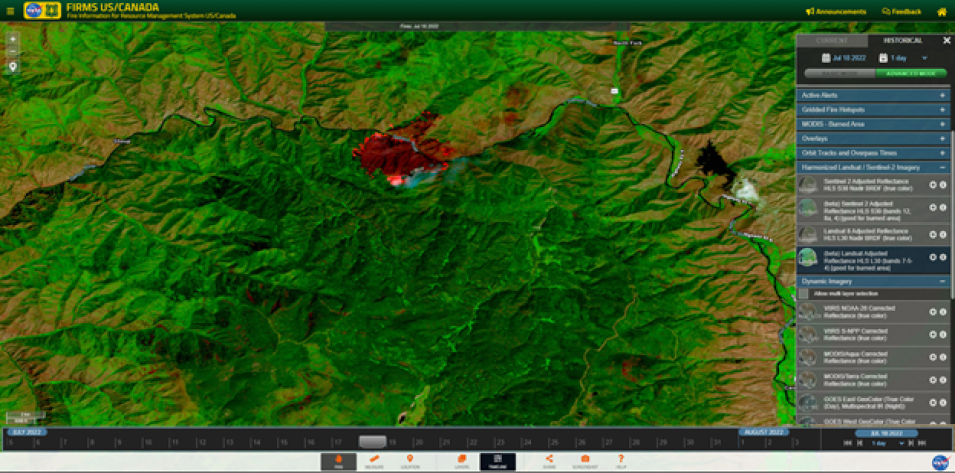
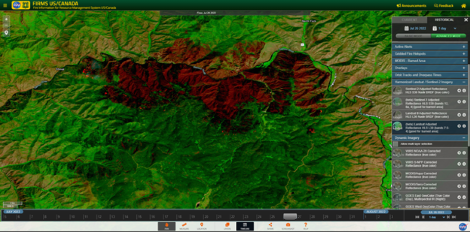
Earlier this year, FIRMS integrated the Harmonized Landsat/Sentinel-2 (HLS) Imagery product. This data stream has recently been enhanced with the integration of Landsat 9 data. Users can now integrate HLS True Color and False Color Composite Imagery from Landsat 9 in addition to Landsat 8. Both Landsat instruments image every location on the Earth's surface at least every 16 days and their respective orbits are 8 days out of phase. As a result, they provide 8 day repeat coverage of any area on the globe. With the two Landsat instruments and two Sentinel-2 instruments, the HLS data stream allows for 30 meter land surface observations every 2-3 days.
HLS data services are made available by the NASA Interagency Implementation and Advanced Concepts Team (IMPACT) and can be visualized in FIRMS map viewers approximately 2-4 days after acquisition. Please see the April 2022 FIRMS blog post for additional information on the HLS data product and how to access it in FIRMS.

