We're pleased to announce the availability of new Global Digital Elevation Models in GIBS from Terra's Advanced Spaceborne Thermal Emission and Reflection Radiometer (ASTER) instrument and the Shuttle Radar Topography Mission (SRTM). These products are available globally at their full resolution of 30 meters per pixel.
Global Digital Elevation Models now available: ASTER, GDEM, and SRTM
The ASTER products were created from approximately 1.5 million scenes (ASTER stereo pair observations) dating back to 2000 and covers land surfaces between 83°N and 83°S. The SRTM product is based on Space Shuttle Endeavour's STS-99 mission in February 2000 using two radar antennas.
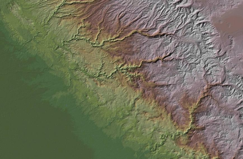
Shown above is the ASTER GDEM Color Shaded Relief layer. It shows surface elevation as shaded relief in color. Features such as mountains, valleys, plateaus and canyons with steep slopes will appear more rough, while flat areas will appear more smooth. Areas of lower elevation appear darker green, and areas of higher elevation are reds to white. Areas below sea level are a flat grey.
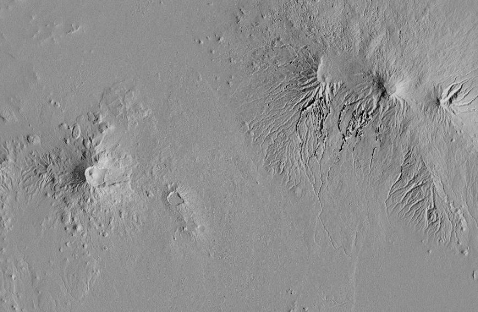
The ASTER GDEM Greyscale Shaded Relief layer (above) shows surface elevation as shaded relief in shades of grey.
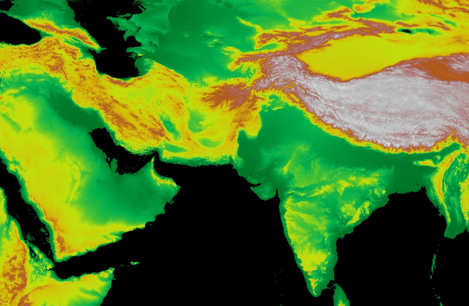
The SRTM Color Index (above) and ASTER GDEM Color Index layers show land elevation around the world, measured in meters. On the default palette, white indicates the highest elevations, then brown, yellow and greens indicate low elevations.
We hope that you'll find good ways to use these with or without your other favorite NASA science data products.


