NASA’s constellation of Earth observing satellites constantly collect data about Earth and acquire some pretty amazing images of our planet. NASA's Worldview imagery mapping and visualization application lets you interactively explore this tremendous trove of NASA Earth science data and imagery—and even create snapshots and animated GIFs to share with friends. This Earth Day imagery gallery provides tips for exploring the Worldview gallery images, resources to show you how NASA studies Earth, and links to activities to help you learn more about how our amazing planet works.

Creating your own NASA Worldview Earth Day image is easy. Start with this tutorial:
Tutorial en español

Engage in more Earth Day at Home activities: www.nasa.gov/earthday

Imagery Gallery

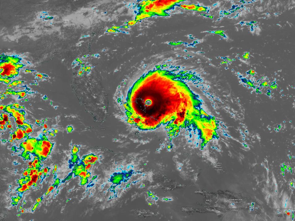
Hurricane Dorian on 1 September 2019

Other NASA Resources

NASA Earth Observatory - Explore images, stories, and discoveries about the environment, Earth systems, and climate that emerge from NASA research, including its satellite missions, in-the-field research, and models.

NASA Scientific Visualization Studio - Discover Earth and Space Science visualizations, animations, and images in order to promote a greater understanding of research activities at NASA.

My NASA Data - Resources organized around the Earth System Science phenomena that you teach.