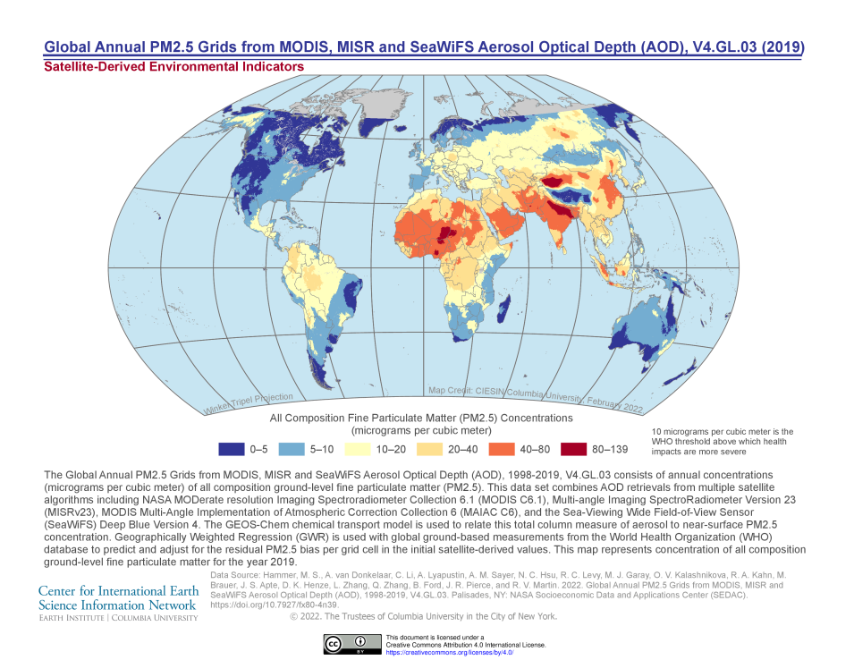
NASA's Socioeconomic Data and Applications Center (SEDAC) has a range of satellite-derived air quality datasets at both global and U.S. scales. According to the Lancet Commission on Pollution and Health, environmental pollution is the single largest cause of disease and death in low- and middle-income countries (LMICs). Data from the World Health Organization suggest that exposure to polluted air, water, and soil contributed to 9 million premature deaths worldwide, with most of those deaths owing to air pollution.
Understanding the patterns of air pollution and how they relate to exposed populations, including poverty characteristics, is critical, especially in light of the fact that according to the Commission, the overwhelming majority of the disease burden from pollution—over 92%—falls on residents of LMICs. This webinar will feature SEDAC gridded and tabular data developed by scientists at Harvard, Dalhousie, Washington, and Yale universities. During this webinar, the presenters will describe the datasets and provide sample analyses and applications of the data for health-related studies in conjunction with other SEDAC data, such as Gridded Population of the World v4, the Social Vulnerability Index Grids, and the new Global Relative Deprivation Index grid. The implications of findings for environmental justice will be discussed.
