Earthdata Blog

A deeper dive into NASA Earth science data.

Filter By

Has taxonomy terms (with depth)

IMPACT developed the Similarity Search tool, which helps users search rapidly across image archives.

Worldview now provides the ability to view multiple event tracks on the map, specifically for "Severe Storm" and "Sea and Lake Ice" events.

This short blog describes our journey towards AI foundation models and how they can augment the science data and research lifecycle.

IMPACT team members traveled to Wallops Flight Facility in Virginia to find and digitize details of NASA’s P-3 aircraft flights.

Using IMPACT datasets, students harness the deep learning mechanisms of neural networks and other image processing methods to classify images into categories.

Meet two IMPACT researchers: Essence Raphael, an informaticist, and Muthukumaran (Kumar) Ramasubramanian, a data scientist.

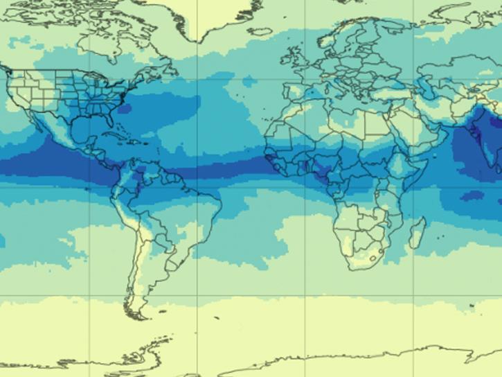
Our experts break down the similarities and differences of Earth observation sensors operated by NASA.

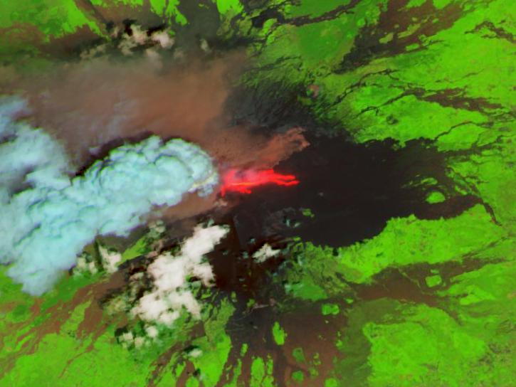
This new near real-time Landsat Fire and Thermal Anomaly active fire product is the result of an ongoing collaboration by NASA LANCE/FIRMS, University of Maryland, USDA Forest Service, and USGS EROS Data Center.

There will be a data and imagery outage in GIBS and Worldview starting October 10, 2022. MOPITT NRT imagery will be unavailable starting October 3.