Earthdata Blog

A deeper dive into NASA Earth science data.

Filter By

Has taxonomy terms (with depth)

An in-depth look at the development, attributes, and (many) benefits of this foundation model for applying artificial intelligence (AI) to weather and climate.

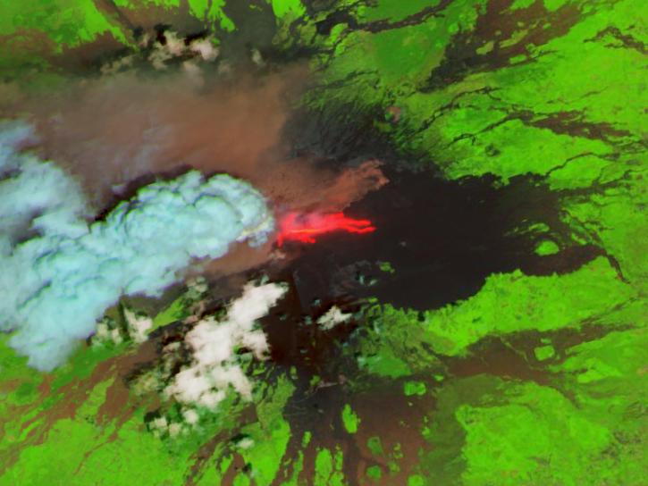
Active fire detection data from five geostationary sensors are available in NASA's Fire Information for Resource Management System (FIRMS) and collectively provide global coverage.

NASA’s Fire Information for Resource Management System (FIRMS) provides natural resource managers with near real-time active fire/hotspot locations using satellite-derived fire information.

The collaborative development of a weather and climate artificial intelligence (AI) foundation model supports a broad range of public safety and science applications.

Using NASA Earth observation data, researchers assessed miles of Brazilian coastline to identify high-risk points of fish contaminated with microplastics.

The Getting Ready for NISAR (GRFN) cooperative effort prepared NASA's Earth Science Data and Information System (ESDIS) Project for archiving and distributing large-scale files from data-intensive missions.

Croissant is a format developed for describing datasets used in machine learning (ML) that aims to simplify working with datasets across ML platforms and repositories.

The U.S. Greenhouse Gas Center expedites the use of Earth science data related to methane, carbon dioxide, and other greenhouse gas datasets by offering openly available information in a central location.

A workshop hosted by NASA's Physical Oceanography Distributed Active Archive Center (PO.DAAC) explored data and resources for working with observations from the Surface Water and Ocean Topography (SWOT) mission.

Hosted by NASA’s Socioeconomic Data and Applications Center (SEDAC), the January workshop focused on ways to apply open science to human aspects of global environmental change.