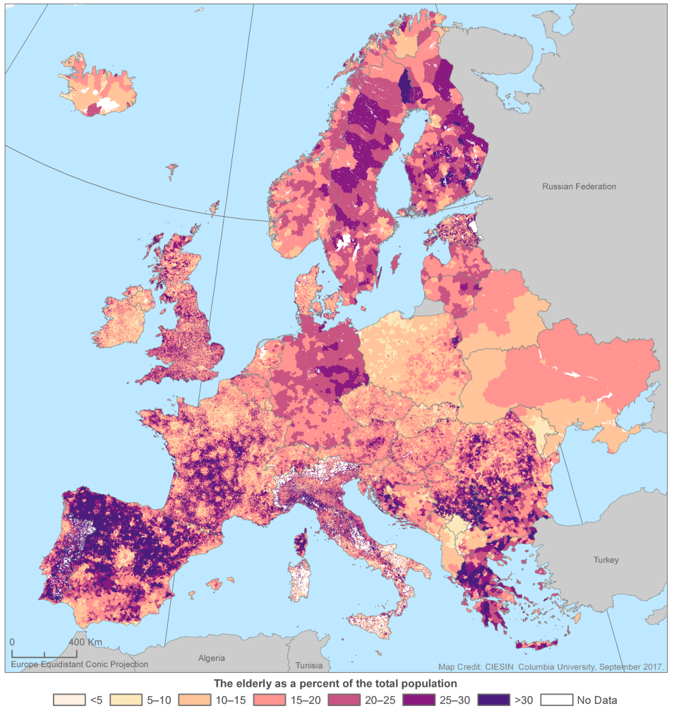
Along with updated versions of eight datasets, the current revision to the Gridded Population of the World Version 4.10 (GPW v4.10) includes a new dataset on Basic Demographic Characteristics (doi: 10.7927/H45H7D7F).
The Basic Demographic Characteristics dataset is the first global dataset to have data for all countries on the spatial distribution of population broken down into different age groups by sex (male and female). The dataset provides estimates of human population by age and sex as counts (number of persons per pixel) and densities (number of persons per square kilometer), consistent with national censuses and population registers, for the year 2010. Data can be viewed as eight Basic Demographic Characteristics maps or can be downloaded in ASCII, GeoTIFF, and NetCDF formats.
The GPW data collection is the flagship product of NASA’s Socioeconomic Data and Applications Center (SEDAC), and the nine datasets in v4.10 incorporate boundary or population updates for 64 countries, additional attributes in the centroids and national identifier datasets, an updated water mask, and additional format and resolution options. The purpose of GPW is to provide a spatially disaggregated population layer that is compatible with datasets from social, economic, and Earth science disciplines as well as with remote sensing. It provides globally consistent and spatially explicit data for use in research, policy-making, and communications.
SEDAC is NASA's Earth Observing System Data and Information System (EOSDIS) Distributed Active Archive Center (DAAC) responsible for archiving and distributing socioeconomic data in the EOSDIS collection, and is hosted at Columbia University’s Center for International Earth Science Information Network (CIESIN). SEDAC synthesizes Earth science and socioeconomic data and information in ways useful to a wide range of decision makers and other applied users, and serves as an “Information Gateway” between the socioeconomic and Earth science data and information domains.
