Tamlin Pavelsky, University of North Carolina, Chapel Hill
Lakes are the primary source of irrigation and drinking water in many parts of the world. They are used to provide food and generate electricity. They can also lessen the impact of flooding due to natural disasters, and they provide habitats for fish, plants, and other wildlife.
Lake Observations by Citizen Scientists and Satellites (LOCSS) is an effort to better understand how the water volume in lakes is changing. LOCSS is working with a network of citizen scientists who report lake height by reading simple lake gauges. LOCSS also uses satellite images to measure the surface area of the lake. By using the measured lake height and lake surface area, researchers can understand and calculate the volume of water in a given lake, understand how the lake volume is changing over time, and predict how those changes in lake volume may impact humans and wildlife. However, this data will need to be validated with ground measurements. LOCSS creates a framework to provide such measurements.
There are tens of millions of lakes in the world, but only a fraction are monitored. This project uses the power of citizen science to gather large amounts of lake volume data that a single research team would be unable to obtain. These lake volume measurements will help NASA prepare for the upcoming Surface Water and Ocean Topography (SWOT) satellite mission. SWOT will be able to measure lake height and surface area simultaneously allowing for global measurements of lake water storage. However, this data will need to be validated with ground measurements.
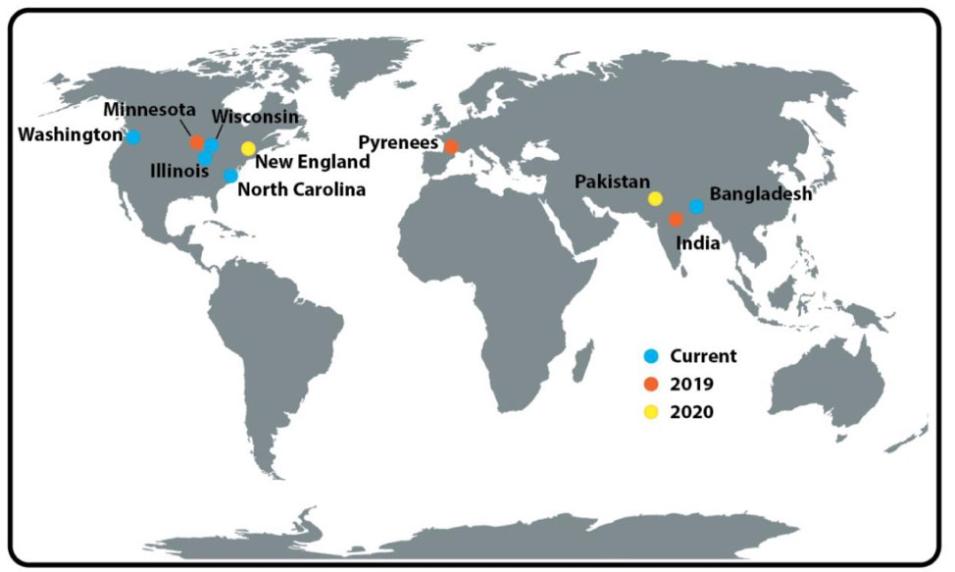
During the prototype phase, the project focused on lakes in North Carolina. In the implementation phase, LOCSS will expand the project to new lakes including those in Washington, Wisconsin, Bangladesh. For information on how you can volunteer visit the LOCSS site.
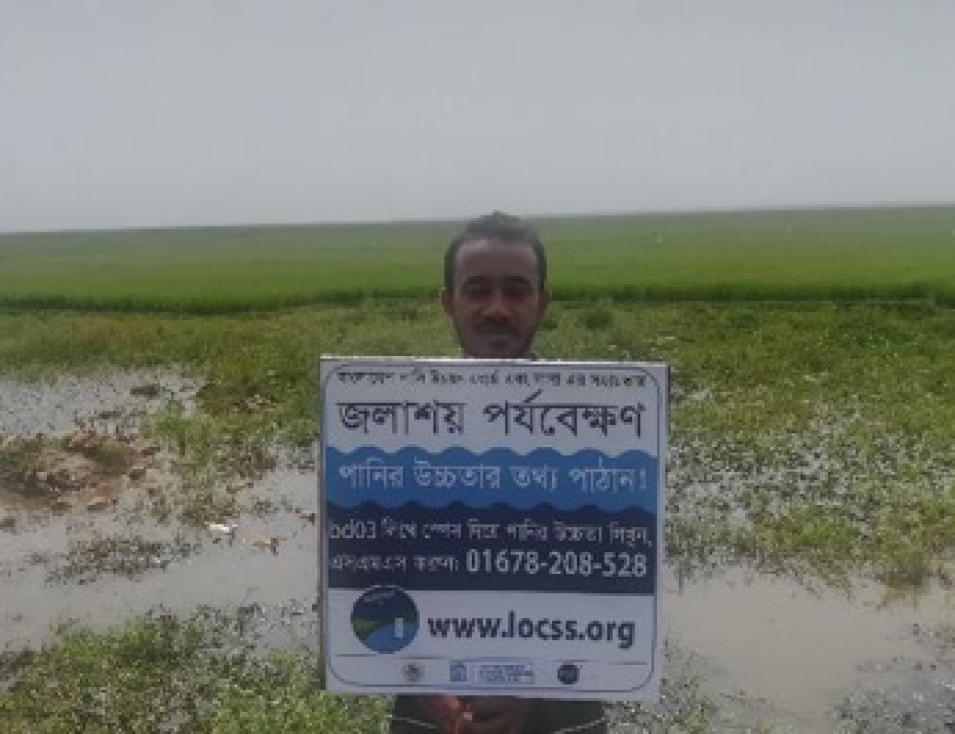
One of the first installations of the implementation phase saw gauges installed in Northeastern Bangladesh at water bodies called "haors." The local partnering institutions for this project are the Bangladesh Water Development Board and Hydrometerology Research and Consulting.


