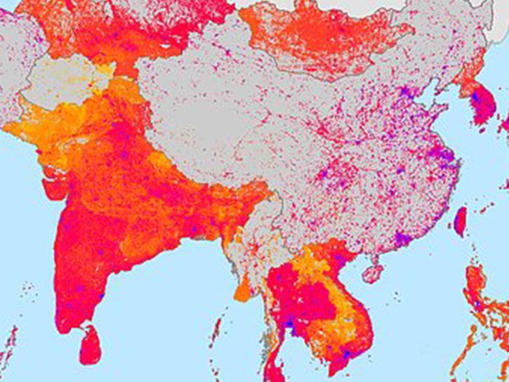
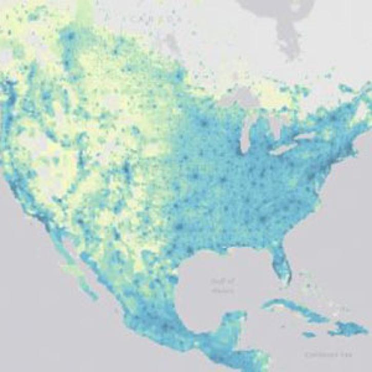
NASA's SEDAC Map Viewer is a web mapping tool that enables visualization of all Socioeconomic Data and Applications Center (SEDAC) map layers. This tool is capable of organizing the map layers into approximately 15 interdisciplinary topics that users can select. Users may also zoom into a region of interest using a selection list, in addition to typical pan and zoom options.
Version 2.0 of the SEDAC Map Viewer implements an innovative four-window map view to make it easier to compare data layers from SEDAC’s diverse data holdings. The viewer is developed using the Open Layers JavaScript library and uses the SEDAC Web Map Services (WMS) published in GeoServer.

