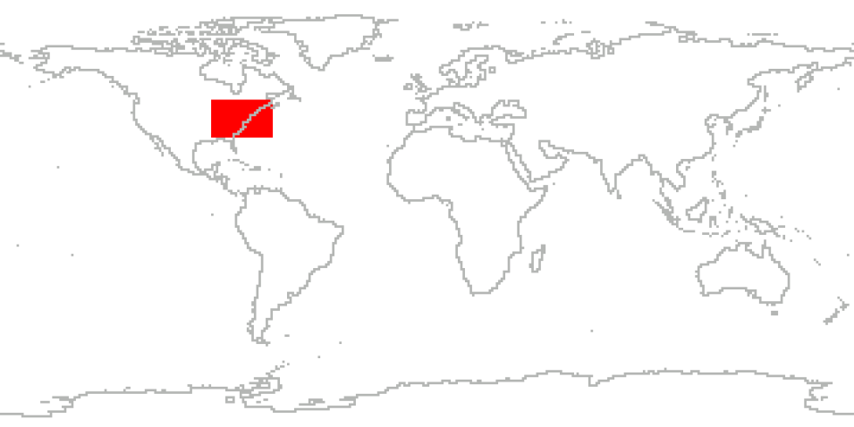
The Investigation of Microphysics and Precipitation for Atlantic Coast-Threatening Snowstorms (IMPACTS), funded by NASA’s Earth Venture program, was the first comprehensive study of East Coast snowstorms in 30 years. IMPACTS flew a complementary suite of remote sensing and in-situ instruments for three 6-week deployments (2020-2022) on NASA’s ER-2 high-altitude aircraft and P-3 cloud-sampling aircraft.
The first deployment began on January 17, 2020, and ended on March 1, 2020. IMPACTS sampled U.S. East Coast winter storms using advanced radar, LiDAR, and microwave radiometer remote sensing instruments on the ER-2, and state-of-the-art microphysics probes and dropsonde capabilities on the P-3, augmented by ground-based radar and rawinsonde data, multiple NASA and NOAA satellites (including GPM, GOES-16, and other polar orbiting satellite systems), and computer simulations.
Cite the Collection
To cite the entire collection, please use the following:
McMurdie, L.A., Heymsfield, G., Yorks, J.E., and Braun, S.A. 2019. Investigation of Microphysics and Precipitation for Atlantic Coast-Threatening Snowstorms (IMPACTS) Collection [indicate subset used]. Data available online [https://earthdata.nasa.gov/centers/ghrc-daac] from the NASA EOSDIS Global Hydrometeorology Resource Center Distributed Active Archive Center, Huntsville, Alabama, U.S.A. doi:http://dx.doi.org/10.5067/IMPACTS/DATA101
For more information on citing data archived by NASA's Global Hydrometeorology Resource Center Distributed Active Archive Center (GHRC DAAC), see NASA's data use policy.
General Characteristics
| Projects | IMPACTS | |
|---|---|---|
| Platforms | Ground Stations, Mission Reports, GOES-16, NASA ER-2, NASA P-3 | |
| Sensors/Instruments | 2DVD, AMPR, APU, ASOS, AVAPS, CDP, Ceilometers, CoSMIR, CPI Probes, CPL, CRS, EXRAD, GOES-16 Imager, GPS, HIWRAP, HVPS, INS, KASPR, LiDAR, LIP, Mesonet, MRMS, MRR, MRR2, NEVZOROV PROBE, NEXRAD, NPOL, Parsivels, PHIPS, PMS 2D-S Probe, PMS KING PROBE, Rawinsondes, ROSEMOUNT PROBES, SKYLER, Soundings, TAMMS, Visual Observations, WISPER | |
| Parameters | Radar, Platform Characteristics, Weather/Climate Advisories, Atmospheric Pressure, Atmospheric Water Vapor, Atmospheric Winds, Geothermal Dynamics, Atmospheric Temperature, Altitude, Clouds, Precipitation, Infrared Wavelengths, Visible Wavelengths, Sensor Characteristics, Aerosols, Atmospheric Radiation, Lidar, Atmospheric Electricity, Microwave | |
| Processing level | 0, 1A, 1B, 2, 3 | |
| Formats | ASCII, ASCII-csv, ASCII-ict, HDF-5, netCDF-3, netCDF-3/CF, netCDF-4, PDF | |
